


Date: August 1, 2011
Start: 2508 m (Wangenitzseehütte)
Finish: 1905 m (Winklerner Hütte)
Highest point: 2603 m (Obere Seescharte)
Lowest point: 1905 m (Winklerner Hütte)
Total ascent: 215 m
Total descent: 856 m
**************************
Do not take anything, do not leave anything!
**************************
Please, do NOT leave trash behind. Paper tissues are also trash! Chocolate wrap as well. Bring a small trash bag with you and take your trash with yourself to the next trash can. It is not that heavy.
**************************
Další informace v části
https://picasaweb.google.com/beatahardi/2010073008013NaposHutteTura?authuser=0&feat=directlinkGalerie tras


Trasa mapa a výškový profil
Minimální výška 1836 m
Maximální výška 2599 m
Více o autorovi turné
|
|
beepee |
Komentáře

Places where you can eat and drink:
Wangenitzseehütte
Raneralmhütte
Winklerner Hütte
Route:
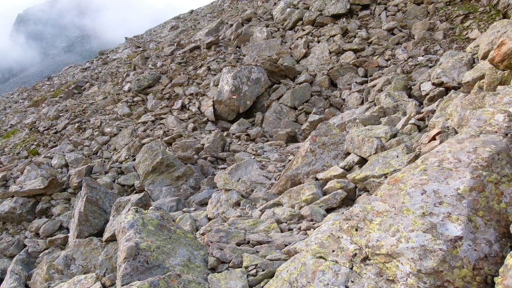
1. from Wangenitzseehütte follow the signs towards Winklerner Hütte
2. walk on the trail between the two lakes, parallel to the lift cables
3. at a crossing, turn left, following the shape of Wangenitzsee
4. walk towards Obere Seescharte (high point with a cross)
5. from Obere Seescharte, walk further along the path towards Winklerner Hütte
6. when you reach Raneralmhütte, walk another 15 minutes on the marked trail towards Winklerner Hütte
Make sure to bring plenty of water!!!
**************************
Do not take anything, do not leave anything!
**************************
Please, do NOT leave trash behind. Paper tissues are also trash! Chocolate wrap as well. Bring a small trash bag with you and take your trash with yourself to the next trash can. It is not that heavy.
**************************
Trasy GPS
Trackpoints-
GPX / Garmin Map Source (gpx) download
-
TCX / Garmin Training Center® (tcx) download
-
CRS / Garmin Training Center® (crs) download
-
Google Earth (kml) download
-
G7ToWin (g7t) download
-
TTQV (trk) download
-
Overlay (ovl) download
-
Fugawi (txt) download
-
Kompass (DAV) Track (tk) download
-
Formulář trasy (pdf) download
-
Původní soubor autora (gpx) download
Více o autorovi turné
|
|
beepee |
Přidat do oblíbených
Odebrat z oblíbených položek
Upravit značky
Open track
Moje hodnocení
Hodnotit