
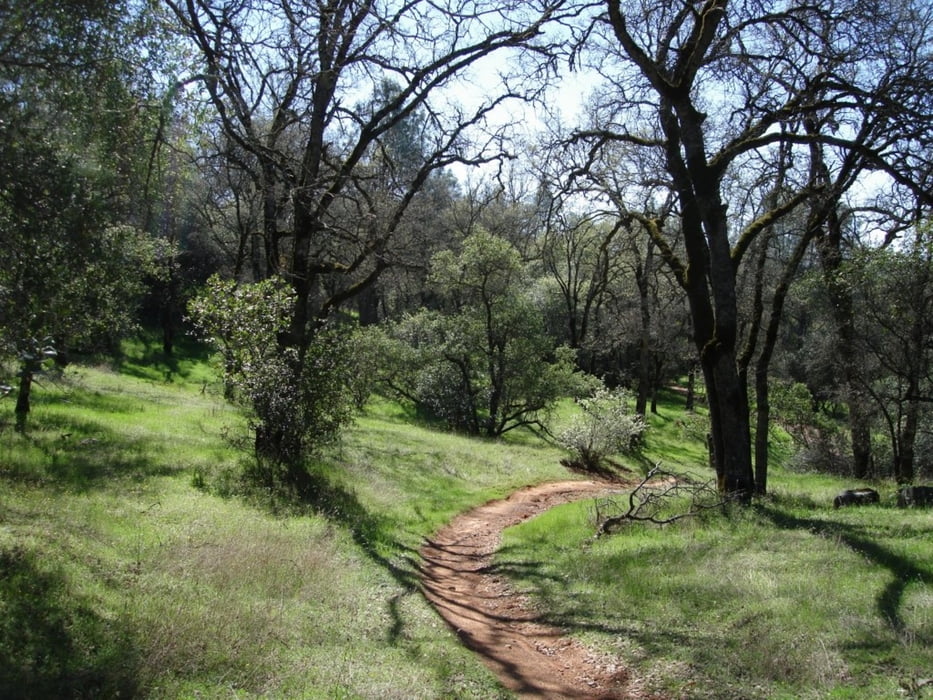

This loop combines multiple trails in the Auburn State Recreation Area. In order of the loop, the trails are: Clementine, Connector, the Foresthill Divide Loop, back on Connector, down Stonewall and finally, down Confluence trail. This ride is very challenging, starting with a three mile climb on Clementine, and opening in to the very fast and flowing Connector trail, up around the Divide Loop and back on Connector. From the end of the Connector trail, it's all down hill. The Stonewall trail starts just out of the dirt parking area, to the left of the Fuelbreak trail head and heads down, across Foresthill and Old Foresthill roads. On the other side of Old Foresthill Rd., the trail picks up on the other side of the guard rail. Drop down the steep incline and stay to the right, cross the paved road at the OHV entrance on to the Confluence trail, and flying all the way back to the car!
Trasa mapa a výškový profil
Minimální výška 164 m
Maximální výška 586 m
Více o autorovi turné

|
happyfloh |
Komentáře

Trail Head: Old Foresthill Rd. At the confluence.
Trasy GPS
Trackpoints-
GPX / Garmin Map Source (gpx) download
-
TCX / Garmin Training Center® (tcx) download
-
CRS / Garmin Training Center® (crs) download
-
Google Earth (kml) download
-
G7ToWin (g7t) download
-
TTQV (trk) download
-
Overlay (ovl) download
-
Fugawi (txt) download
-
Kompass (DAV) Track (tk) download
-
Formulář trasy (pdf) download
-
Původní soubor autora (gpx) download
Více o autorovi turné
|
|
happyfloh |
Přidat do oblíbených
Odebrat z oblíbených položek
Upravit značky
Open track
Moje hodnocení
Hodnotit