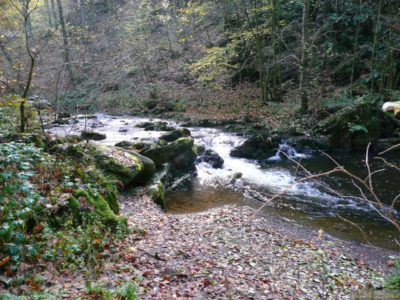
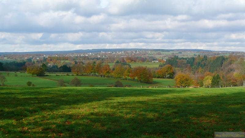
Relatively easy except for a passage of 400m over roots with a lot of mud.
This route is always wet, even in summer, but the Warche Valley is beautiful all through the year.
Sorry no photos, I lost my camera on the last trip!
This route is always wet, even in summer, but the Warche Valley is beautiful all through the year.
Sorry no photos, I lost my camera on the last trip!
Weitere Informationen unter
http://www.creamteam.beTour Galerie
Tour Karte und Höhenprofil
Minimale Höhe 337 m
Maximale Höhe 576 m
Kommentare

Start at the Cathedral in Malmedy, plenty of parking available.
GPS-Tracks
Trackpunkte-
GPX / Garmin Map Source (gpx) download
-
TCX / Garmin Training Center® (tcx) download
-
CRS / Garmin Training Center® (crs) download
-
Google Earth (kml) download
-
G7ToWin (g7t) download
-
TTQV (trk) download
-
Overlay (ovl) download
-
Fugawi (txt) download
-
Kompass (DAV) Track (tk) download
-
Tourenblatt (pdf) download
-
Originaldatei des Autors (gpx) download
Zu meinen Favoriten hinzufügen
Von meinen Favoriten entfernen
Tags bearbeiten
Tour öffnen
Meine Bewertung
Bewerten


