Login

Passwort vergessen?

Cookies müssen akzeptiert werden!
Die Cookie-Funktion Ihres Browsers ist deaktiviert. Bitte aktivieren Sie die Funktion.

Noch kein Mitglied?

Jetzt Registrieren
Login

Nur für eingeloggte Benutzer möglich

Melde dich an, um diese Funktion nutzen zu können.

Passwort vergessen?

Cookies müssen akzeptiert werden!
Die Cookie-Funktion Ihres Browsers ist deaktiviert. Bitte aktivieren Sie die Funktion.

Noch kein Mitglied?

Jetzt Registrieren
Filter
Kategorien
Erweiterte Filter
  • Länge (km)
  • Höhenmeter
Filter speichern Filter zurücksetzen

TrackRank

QRCode

Technische Daten

Länge15,9 km Höhenmeter1457 m Abstieg1448 m Dauer08:00 h:m Datum03.01.2014
Bewertungen Autor Landschaft Spaßfaktor Kondition Technik

Statistik

972 Views Bewertungen 28 Downloads Durchschnitt
Bewerten
  • Tourenblatt
  • Anfahrt
  • Downloads
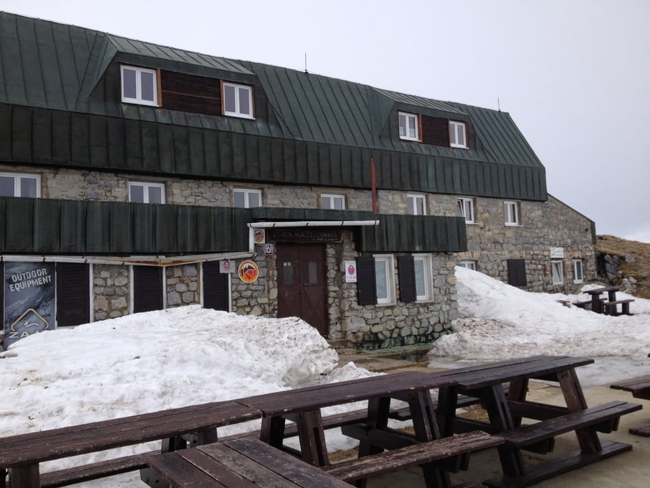
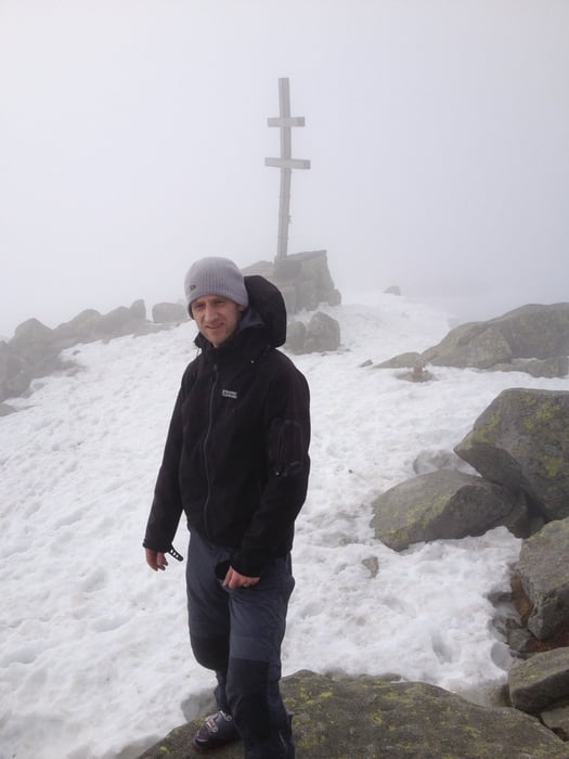
29.4.2013: We left Stefanikova hut at 8:40, passed Ďumbier from left side and went approximately around the contour to the ski lift on Chopok. Then we went directly up the slope to Kamenna hut where it is possible to eat/drink. Then partly down the slope, partly down the forrest to the valley. From the lowest point of the track (1345m) up to the ridge, but the orientation was not easy due to the foggy weather so we missed the planned ascent. Finally we reached the ridge near Konske (1888m), then along the ridge direction Dumbier and then down to Stefanikova hut.

Tour Galerie

Tour Karte und Höhenprofil

  • Open Street Map
  • Google
Minimale Höhe 1345 m Maximale Höhe 2026 m Detailansicht

Mehr zum Tourautor

JakubBr
Mitglied seit 2014

Land: Tschechien

2 erstellte Touren
7.5
Private Nachricht senden

Kommentare

Parking is possible not far from Srdiečko hotel, directly on the beginning of the track.

From parking place it is possible to go on ski.


GPS-Tracks

Trackpunkte
  • GPX / Garmin Map Source (gpx) download
  • TCX / Garmin Training Center® (tcx) download
  • CRS / Garmin Training Center® (crs) download
  • Google Earth (kml) download
  • G7ToWin (g7t) download
  • TTQV (trk) download
  • Overlay (ovl) download
  • Fugawi (txt) download
  • Kompass (DAV) Track (tk) download
  • Tourenblatt (pdf) download
  • Originaldatei des Autors (gpx) download

Mehr zum Tourautor

JakubBr
Mitglied seit 2014

Land: Tschechien

2 erstellte Touren
7.5
Private Nachricht senden
Tour teilen
Zu meinen Favoriten hinzufügen
Von meinen Favoriten entfernen
Tags bearbeiten
Meine Bewertung
Bewerten
Tour: Slovakia - Chopok (2024m), Dumbier (2043m)
Art: Skitour
Länge: 15,9 km
Bewertet am:
Dauer:
Tag(e)
Stunde(n)
Minute(n)
Bewertung: Landschaft Spaßfaktor Kondition Technik