Login

Passwort vergessen?

Cookies müssen akzeptiert werden!
Die Cookie-Funktion Ihres Browsers ist deaktiviert. Bitte aktivieren Sie die Funktion.

Noch kein Mitglied?

Jetzt Registrieren
Login

Nur für eingeloggte Benutzer möglich

Melde dich an, um diese Funktion nutzen zu können.

Passwort vergessen?

Cookies müssen akzeptiert werden!
Die Cookie-Funktion Ihres Browsers ist deaktiviert. Bitte aktivieren Sie die Funktion.

Noch kein Mitglied?

Jetzt Registrieren
Filter
Kategorien
Erweiterte Filter
  • Länge (km)
  • Höhenmeter
Filter speichern Filter zurücksetzen

TrackRank

QRCode

Technische Daten

Länge80,7 km Höhenmeter1557 m Abstieg1529 m Dauer04:35 h:m Datum16.04.2014
Bewertungen Autor Landschaft Spaßfaktor Kondition Technik

Statistik

191 Views Bewertungen 21 Downloads Durchschnitt
Bewerten
  • Tourenblatt
  • Anfahrt
  • Downloads

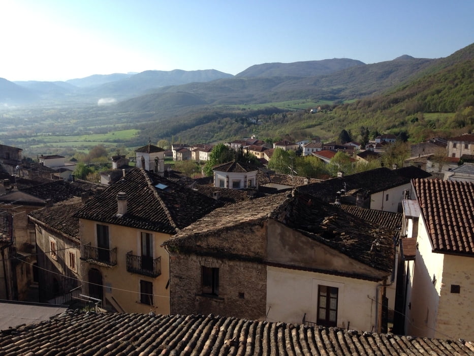
The national park is fantastic and you have so many fantastic views, that you must go there to join it no word can replace the adventure.

The bike ride is also a good tour with elevation of 5-7% and some minor pikes at 8-9% but only in less than 100 meters at a time. Therefor the most bike riders can do the tour without any problems. If you have not been riding mountains before, the tour would be to demanding for you.

You can easily add more kilometers to the tour and I also found elevations over 6-7 kilometers with an average of 10-13% that you can add to the tour, ex. from Riano to Goriano Sicoli, road SP9.

 I started In Gagliano Aterno where I stayed at www.sottoilcastello.dk

Tour Galerie

Tour Karte und Höhenprofil

  • Open Street Map
  • Google
Minimale Höhe 488 m Maximale Höhe 1397 m Detailansicht

Mehr zum Tourautor

svanner
Mitglied seit 2011

Land: Schweiz

3 erstellte Touren
5.3
Private Nachricht senden

Kommentare

GPS-Tracks

Trackpunkte
  • GPX / Garmin Map Source (gpx) download
  • TCX / Garmin Training Center® (tcx) download
  • CRS / Garmin Training Center® (crs) download
  • Google Earth (kml) download
  • G7ToWin (g7t) download
  • TTQV (trk) download
  • Overlay (ovl) download
  • Fugawi (txt) download
  • Kompass (DAV) Track (tk) download
  • Tourenblatt (pdf) download
  • Originaldatei des Autors (gpx) download

Mehr zum Tourautor

svanner
Mitglied seit 2011

Land: Schweiz

3 erstellte Touren
5.3
Private Nachricht senden
Tour teilen
Zu meinen Favoriten hinzufügen
Von meinen Favoriten entfernen
Tags bearbeiten
Meine Bewertung
Bewerten
Tour: Tour around Monte Sirente
Art: Rennrad
Länge: 80,7 km
Bewertet am:
Dauer:
Tag(e)
Stunde(n)
Minute(n)
Bewertung: Landschaft Spaßfaktor Kondition Technik