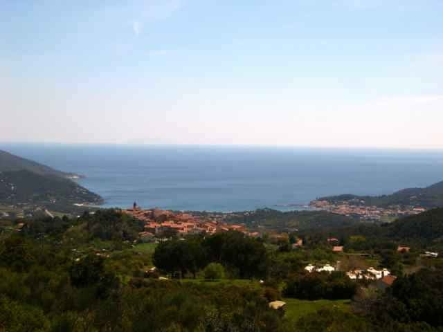
tour from Mariana di Campo to St. Iliario, Mt. Perone, Pietra Maurita, S. Piero back to Mariana di Campo.
The uphill St. Ilario Mt. Perone is steep, downhill the only diffculty is from Pietra Maurita to direction of Seccetto. (I think you could also go down from waypoint 28 to 32 =sentiero 7 or go horizontal from waypoint 28 on sentiero 34 to the street Perone/St. Ilario).
The uphill St. Ilario Mt. Perone is steep, downhill the only diffculty is from Pietra Maurita to direction of Seccetto. (I think you could also go down from waypoint 28 to 32 =sentiero 7 or go horizontal from waypoint 28 on sentiero 34 to the street Perone/St. Ilario).
Weitere Informationen unter
http://www.gps-tour.info/tours/view.php?action=view&entity=list&limitstart=0&country=Italien&federal=ToskanaTour Galerie
Tour Karte und Höhenprofil
Minimale Höhe 2 m
Maximale Höhe 627 m
Kommentare
Portoferrario, Locana, Marina di Campo.
GPS-Tracks
Trackpunkte-
GPX / Garmin Map Source (gpx) download
-
TCX / Garmin Training Center® (tcx) download
-
CRS / Garmin Training Center® (crs) download
-
Google Earth (kml) download
-
G7ToWin (g7t) download
-
TTQV (trk) download
-
Overlay (ovl) download
-
Fugawi (txt) download
-
Kompass (DAV) Track (tk) download
-
Tourenblatt (pdf) download
-
Originaldatei des Autors (gpx) download
Zu meinen Favoriten hinzufügen
Von meinen Favoriten entfernen
Tags bearbeiten
Tour öffnen
Meine Bewertung
Bewerten


Lieber nicht versuchen...