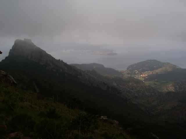
tour from Porto Azzuro, to Rio Elba (street), from there on the mountain top back to Porto Azzuro. Short before Porto Azzuro the track leaves the normal way down to Porto Azzuro (wsee other tracks on this side), using a hard downhill back to Aquabuona.
Hike duration about 10minutes, the rest you can drive.
Hike duration about 10minutes, the rest you can drive.
Weitere Informationen unter
http://www.gps-tour.info/tours/view.php?action=view&entity=list&limitstart=0&country=Italien&federal=ToskanaTour Galerie
Tour Karte und Höhenprofil
Minimale Höhe -9 m
Maximale Höhe 513 m
Kommentare

Portoferrario in direction Porto Azzuro, park near the Aquabona golf center.
GPS-Tracks
Trackpunkte-
GPX / Garmin Map Source (gpx) download
-
TCX / Garmin Training Center® (tcx) download
-
CRS / Garmin Training Center® (crs) download
-
Google Earth (kml) download
-
G7ToWin (g7t) download
-
TTQV (trk) download
-
Overlay (ovl) download
-
Fugawi (txt) download
-
Kompass (DAV) Track (tk) download
-
Tourenblatt (pdf) download
-
Originaldatei des Autors (gpx) download
Zu meinen Favoriten hinzufügen
Von meinen Favoriten entfernen
Tags bearbeiten
Tour öffnen
Meine Bewertung
Bewerten


