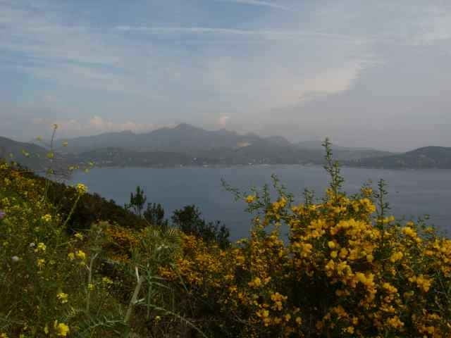
easy hike tour on the land tounge (promotory) of lacona. On the end of the land tounge (before its going up again) is a beach to use it (waypoint beach)
You can go this tour also with the bike, i suggest to go on the deviaton (waypoint) (at the houses about 2km after the restriction bar) up the hill instead down to the coast and use this way twice (better to drive).
You can go this tour also with the bike, i suggest to go on the deviaton (waypoint) (at the houses about 2km after the restriction bar) up the hill instead down to the coast and use this way twice (better to drive).
Weitere Informationen unter
http://www.gps-tour.info/tours/view.php?action=view&entity=list&limitstart=0&country=Italien&federal=ToskanaTour Galerie
Tour Karte und Höhenprofil
Minimale Höhe 9 m
Maximale Höhe 154 m
Kommentare

Protoferrario direction Porto Azzuro, after about 3km at the traffic light right over the little pass to Lacona.
GPS-Tracks
Trackpunkte-
GPX / Garmin Map Source (gpx) download
-
TCX / Garmin Training Center® (tcx) download
-
CRS / Garmin Training Center® (crs) download
-
Google Earth (kml) download
-
G7ToWin (g7t) download
-
TTQV (trk) download
-
Overlay (ovl) download
-
Fugawi (txt) download
-
Kompass (DAV) Track (tk) download
-
Tourenblatt (pdf) download
-
Originaldatei des Autors (gpx) download
Zu meinen Favoriten hinzufügen
Von meinen Favoriten entfernen
Tags bearbeiten
Tour öffnen
Meine Bewertung
Bewerten


