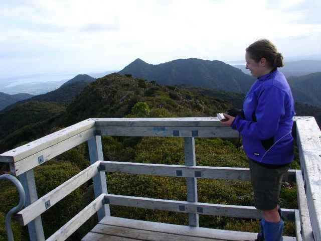
For this trip we went up Mt Pirongia via the Tirohanga Track, stayed the night at the Pahautea Hut and the top and then returned via the Kaniwhaniwa Track.
Tour Galerie
Tour Karte und Höhenprofil
Minimale Höhe 73 m
Maximale Höhe 967 m
Kommentare

Grey Rd
GPS-Tracks
Trackpunkte-
GPX / Garmin Map Source (gpx) download
-
TCX / Garmin Training Center® (tcx) download
-
CRS / Garmin Training Center® (crs) download
-
Google Earth (kml) download
-
G7ToWin (g7t) download
-
TTQV (trk) download
-
Overlay (ovl) download
-
Fugawi (txt) download
-
Kompass (DAV) Track (tk) download
-
Tourenblatt (pdf) download
-
Originaldatei des Autors (gpx) download
Zu meinen Favoriten hinzufügen
Von meinen Favoriten entfernen
Tags bearbeiten
Tour öffnen
Meine Bewertung
Bewerten


