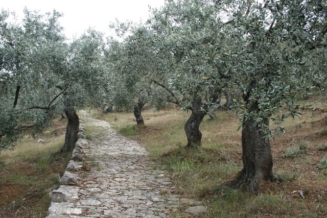
A circular trail starting and ending in Kala Nera (Pelion peninsula - Greece). The trail follows a nice old stone mule trail from a coastal town of Kala Nera up to a picturesque town of Milies. From there the trail follows the old narrow gauge railway track for about 1 h before it descends back to Kala Nera on another old stone mule trail.
Tour Galerie
Tour Karte und Höhenprofil
Minimale Höhe 9 m
Maximale Höhe 384 m
Kommentare

The trail starts in Kala Nera (Pelion peninsula - Greece)
GPS-Tracks
Trackpunkte-
GPX / Garmin Map Source (gpx) download
-
TCX / Garmin Training Center® (tcx) download
-
CRS / Garmin Training Center® (crs) download
-
Google Earth (kml) download
-
G7ToWin (g7t) download
-
TTQV (trk) download
-
Overlay (ovl) download
-
Fugawi (txt) download
-
Kompass (DAV) Track (tk) download
-
Tourenblatt (pdf) download
-
Originaldatei des Autors (gpx) download
Zu meinen Favoriten hinzufügen
Von meinen Favoriten entfernen
Tags bearbeiten
Tour öffnen
Meine Bewertung
Bewerten


