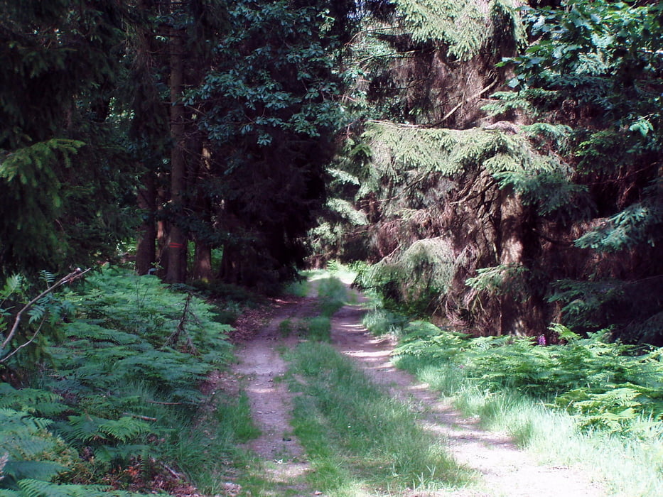
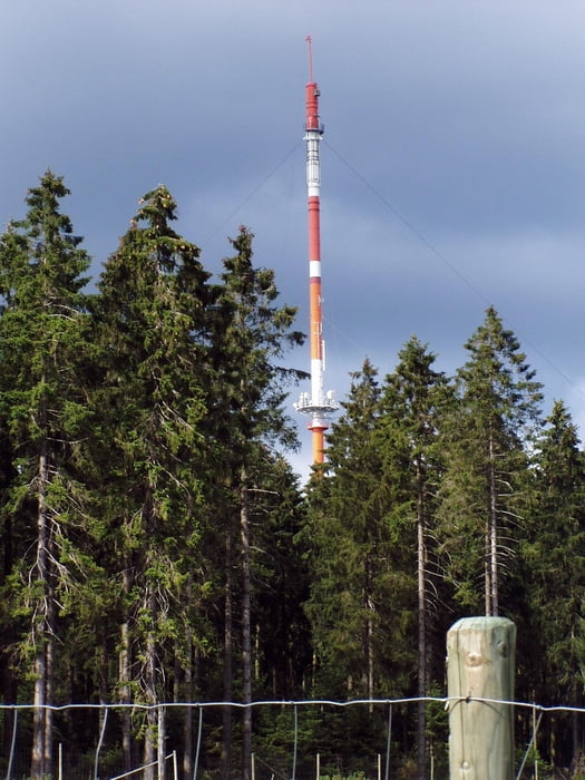
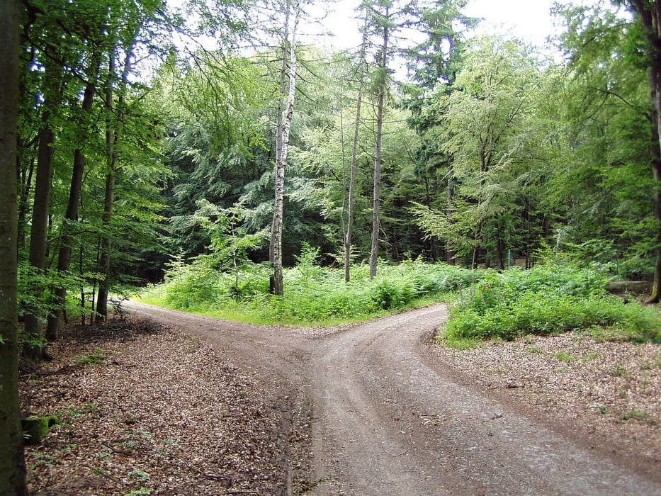
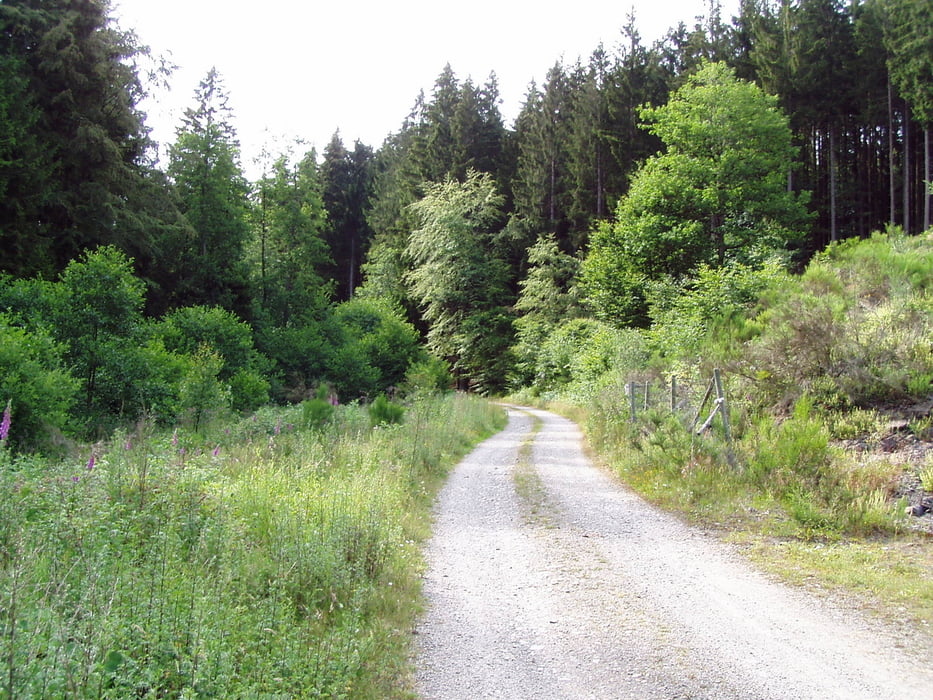
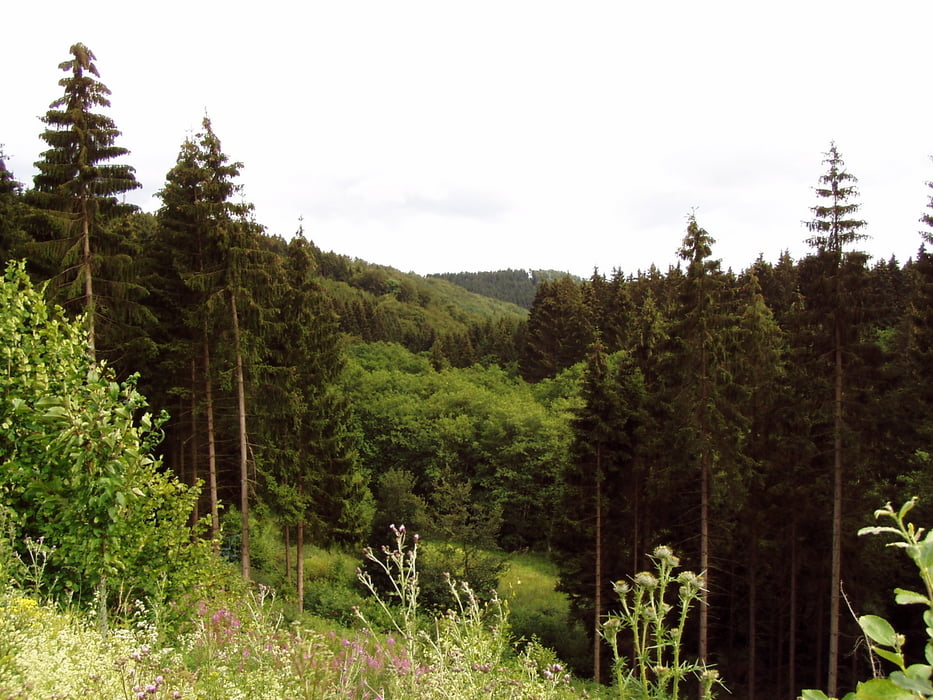
A spectacular MTB ride 90% on the forest roads at the slopes of Schwarzer Mann mountain in Schnee EIfel on the German-Belgian border. Very little asphalt coverage, splendid lookouts on the top of the hill without any difficult passages.
Tour Galerie
Tour Karte und Höhenprofil
Minimale Höhe 487 m
Maximale Höhe 700 m
Kommentare

Start for the church in village Olzheim.
GPS-Tracks
Trackpunkte-
GPX / Garmin Map Source (gpx) download
-
TCX / Garmin Training Center® (tcx) download
-
CRS / Garmin Training Center® (crs) download
-
Google Earth (kml) download
-
G7ToWin (g7t) download
-
TTQV (trk) download
-
Overlay (ovl) download
-
Fugawi (txt) download
-
Kompass (DAV) Track (tk) download
-
Tourenblatt (pdf) download
-
Originaldatei des Autors (gpx) download
Zu meinen Favoriten hinzufügen
Von meinen Favoriten entfernen
Tags bearbeiten
Tour öffnen
Meine Bewertung
Bewerten

