Login

Passwort vergessen?

Cookies müssen akzeptiert werden!
Die Cookie-Funktion Ihres Browsers ist deaktiviert. Bitte aktivieren Sie die Funktion.

Noch kein Mitglied?

Jetzt Registrieren
Login

Nur für eingeloggte Benutzer möglich

Melde dich an, um diese Funktion nutzen zu können.

Passwort vergessen?

Cookies müssen akzeptiert werden!
Die Cookie-Funktion Ihres Browsers ist deaktiviert. Bitte aktivieren Sie die Funktion.

Noch kein Mitglied?

Jetzt Registrieren
Filter
Kategorien
Erweiterte Filter
  • Länge (km)
  • Höhenmeter
Filter speichern Filter zurücksetzen

TrackRank

QRCode

Technische Daten

Länge37,5 km Höhenmeter844 m Abstieg816 m Dauer03:30 h:m Datum09.10.2011
Bewertungen Autor Landschaft Spaßfaktor Kondition Technik

Statistik

292 Views Bewertungen 11 Downloads Durchschnitt
Bewerten
  • Tourenblatt
  • Anfahrt
  • Downloads

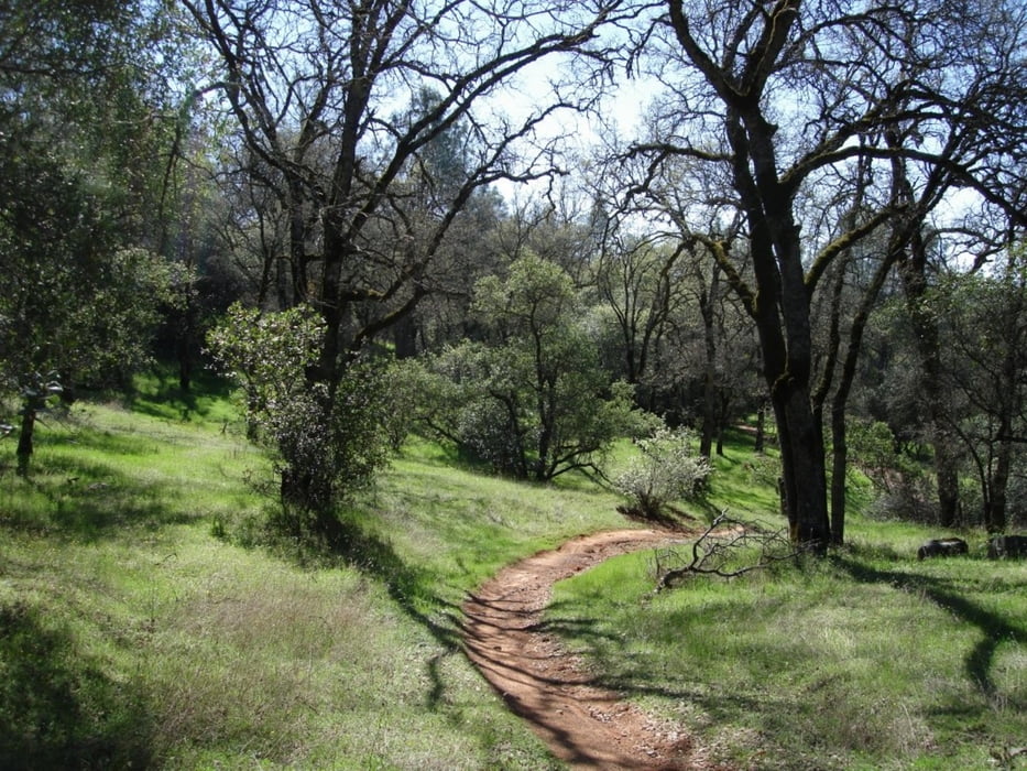
This loop combines multiple trails in the Auburn State Recreation Area. In order of the loop, the trails are: ClementineConnector, the Foresthill Divide Loop, back on Connector, down Stonewall and finally, down Confluence trail. This ride is very challenging, starting with a three mile climb on Clementine, and opening in to the very fast and flowing Connector trail, up around the Divide Loop and back on Connector.  From the end of the Connector trail, it's all down hill.  The Stonewall trail starts just out of the dirt parking area, to the left of the Fuelbreak trail head and heads down, across Foresthill and Old Foresthill roads.  On the other side of Old Foresthill Rd., the trail picks up on the other side of the guard rail.  Drop down the steep incline and stay to the right, cross the paved road at the OHV entrance on to the Confluence trail, and flying all the way back to the car!


Tour Karte und Höhenprofil

  • Open Street Map
  • Google
Minimale Höhe 164 m Maximale Höhe 586 m Detailansicht

Mehr zum Tourautor

happyfloh
Mitglied seit 2010

Land: Deutschland

5 erstellte Touren
7.6
Private Nachricht senden

Kommentare

 Trail Head: Old Foresthill Rd. At the confluence.


GPS-Tracks

Trackpunkte
  • GPX / Garmin Map Source (gpx) download
  • TCX / Garmin Training Center® (tcx) download
  • CRS / Garmin Training Center® (crs) download
  • Google Earth (kml) download
  • G7ToWin (g7t) download
  • TTQV (trk) download
  • Overlay (ovl) download
  • Fugawi (txt) download
  • Kompass (DAV) Track (tk) download
  • Tourenblatt (pdf) download
  • Originaldatei des Autors (gpx) download

Mehr zum Tourautor

happyfloh
Mitglied seit 2010

Land: Deutschland

5 erstellte Touren
7.6
Private Nachricht senden
Tour teilen
Zu meinen Favoriten hinzufügen
Von meinen Favoriten entfernen
Tags bearbeiten
Meine Bewertung
Bewerten
Tour: Clementine Loop
Art: Mountainbike
Länge: 37,5 km
Bewertet am:
Dauer:
Tag(e)
Stunde(n)
Minute(n)
Bewertung: Landschaft Spaßfaktor Kondition Technik