


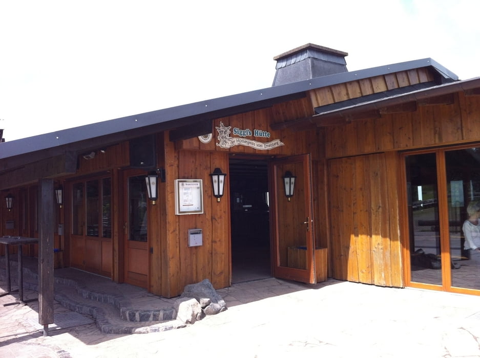
Eine schöne Rundtour vom Willinger Stryk aus in Richtung Usseln danach geht es hoch auf den Ettelsberg wo bei Siggie zum Abschluss noch eingekehrt werden kann.
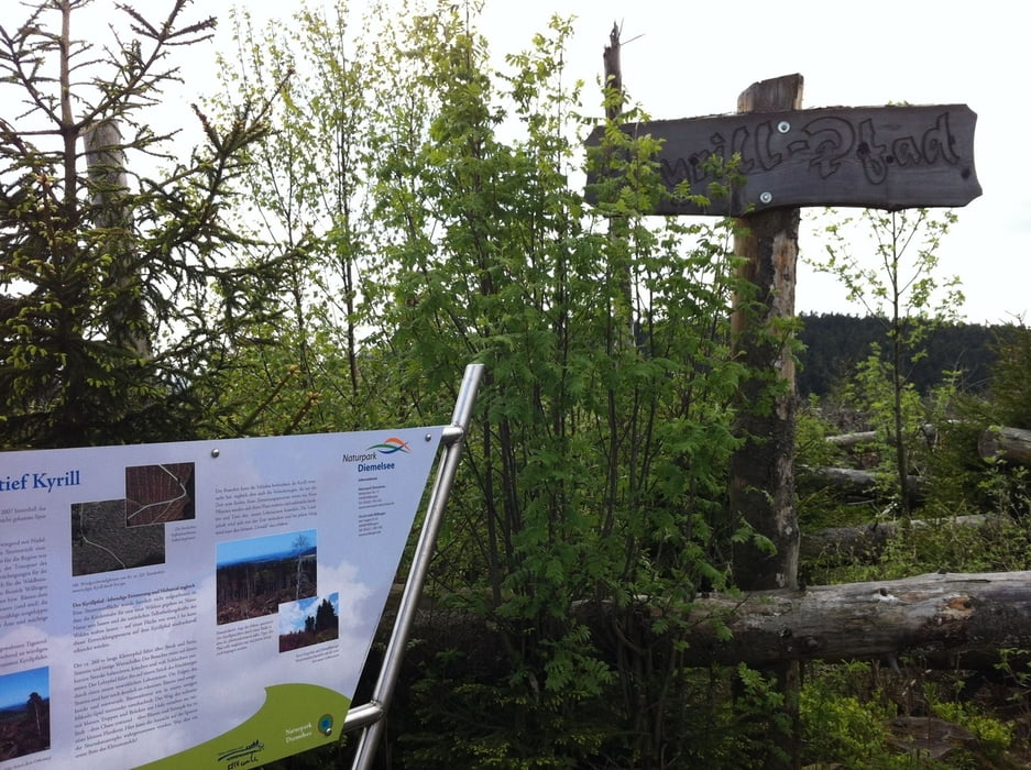
Sehr interessant ist auch der Kyrillpfad. Dort wurden die umgestürzten Bäume nach dem Kyrill nicht weggeräumt und es wurde ein Rundweg über Baumstämme und Leitern angelegt.
Achtung! Ein Weg ist nicht eingezeichnet und einmal gehts es kurz über einen kleinen Bachlauf und eine Wiese auf einen anderen Weg. Ist aber mit normalem Schuhwerk kein Problem.
Tour gallery

Tour map and elevation profile
Minimum height 588 m
Maximum height 830 m
More about the tour author
|
|
Roxis |
Comments

In Willingen Richtung Sprungschanze fahren und dort z.B. beim Gutshof Itterbach parken
GPS tracks
Trackpoints-
GPX / Garmin Map Source (gpx) download
-
TCX / Garmin Training Center® (tcx) download
-
CRS / Garmin Training Center® (crs) download
-
Google Earth (kml) download
-
G7ToWin (g7t) download
-
TTQV (trk) download
-
Overlay (ovl) download
-
Fugawi (txt) download
-
Kompass (DAV) Track (tk) download
-
Track data sheet (pdf) download
-
Original file of the author (gpx) download
More about the tour author
|
|
Roxis |
Add to my favorites
Remove from my favorites
Edit tags
Open track
My score
Rate