Meine Lieblingsabendrunde von Schwarzenbruck über Rasch zum Dillberg, Zwicklbier und Bratwürste am Gasthaus zum Ludwigskanal sind einfach genial !
Further information at
http://www.mbraune.deTour gallery
Tour map and elevation profile
Minimum height 340 m
Maximum height 590 m
Comments
Ausgangspunkt ist die Laubendorfer Str. 3 in 90592 Schwarzenbruck 200 m westlich vom Ochenbrucker Bahnhof S-Bahn Nürnberg-Neumarkt. Ihr könnt auch gerne auf meinem Parkplatz parken!
GPS tracks
Trackpoints-
GPX / Garmin Map Source (gpx) download
-
TCX / Garmin Training Center® (tcx) download
-
CRS / Garmin Training Center® (crs) download
-
Google Earth (kml) download
-
G7ToWin (g7t) download
-
TTQV (trk) download
-
Overlay (ovl) download
-
Fugawi (txt) download
-
Kompass (DAV) Track (tk) download
-
Track data sheet (pdf) download
-
Original file of the author (gpx) download
Add to my favorites
Remove from my favorites
Edit tags
Open track
My score
Rate

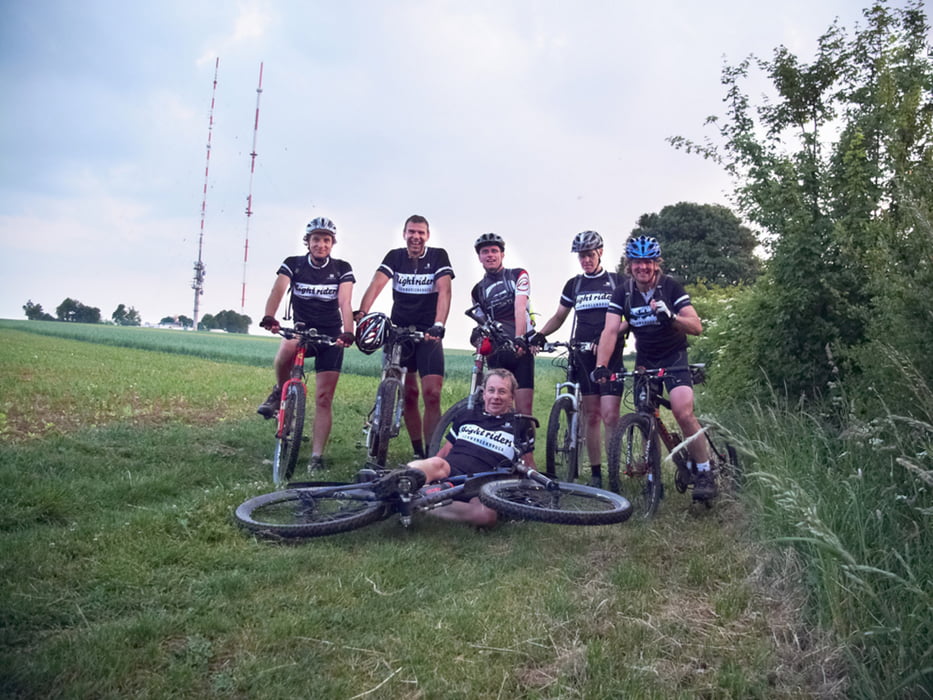
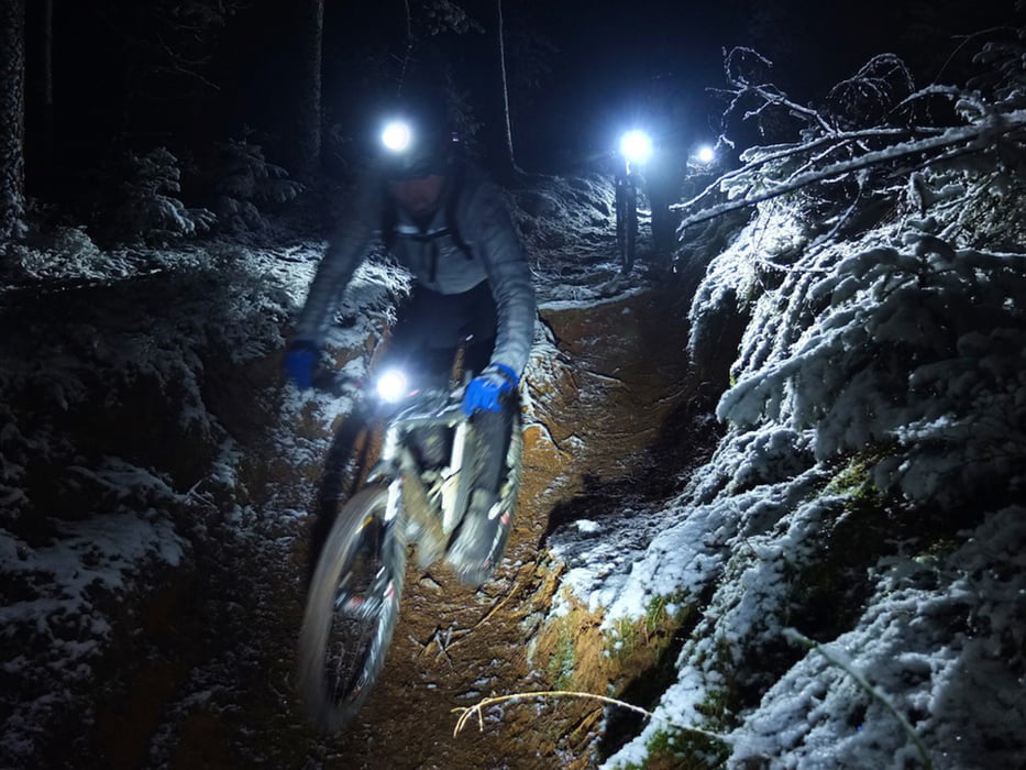
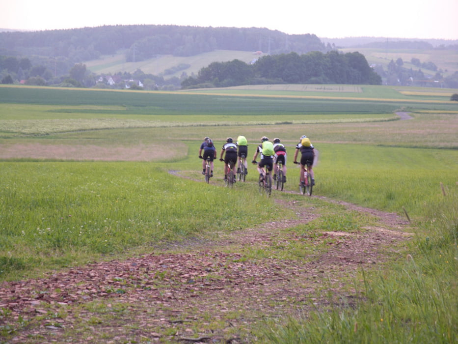
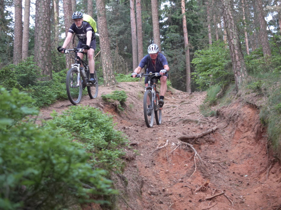
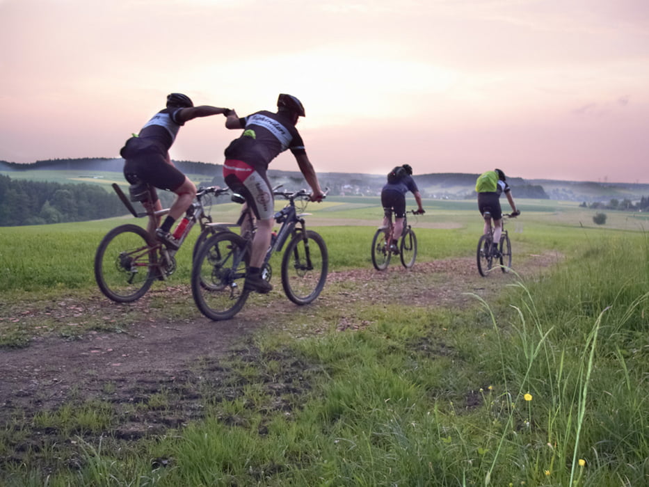
Abendrunde
sind die Runde gestern Abend bei idealem Wetter gefahren, ist wirklich eine Toprunde mit allen Untergrundvarianten. Besonders gut hat mir auch der landschaftliche Weitblick gefallen, den man des öfteren hatte. Tolle Tour, weiter so!!!
Da der schöne Biergarten am Alten Kanal zu hatte,
sind wir noch zu einem anderen gegangen, auch direkt am Kanal.
Gruss
Stefan