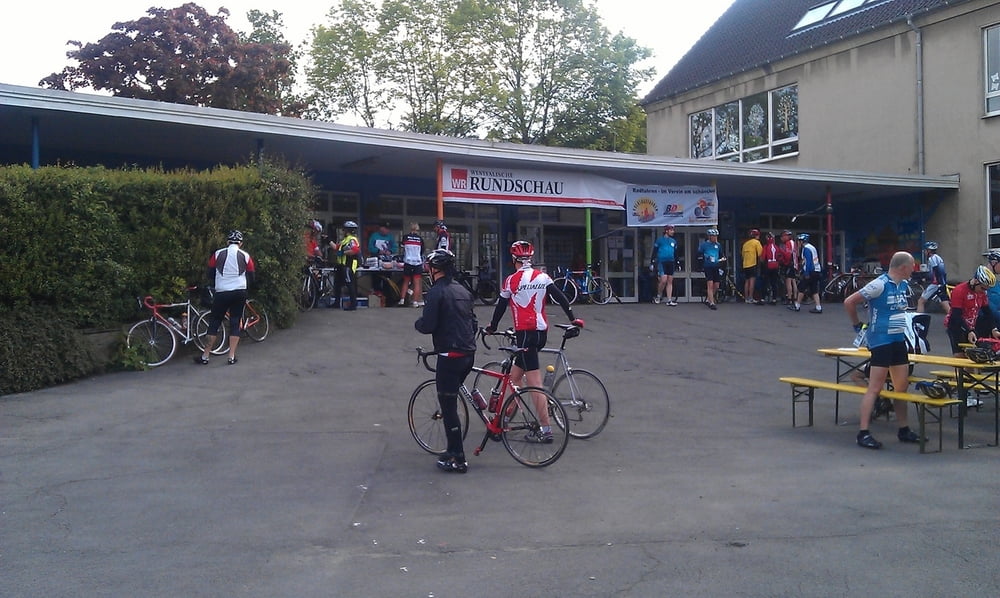
Dies ist die RTF vom 19.05.12 in Schwelm.
Wir sind die 71 Kilometer Runde gefahren, es standen noch vier weitere zur Auswahl
25 / 41 / 71 / 107 / 151 Kilometer.
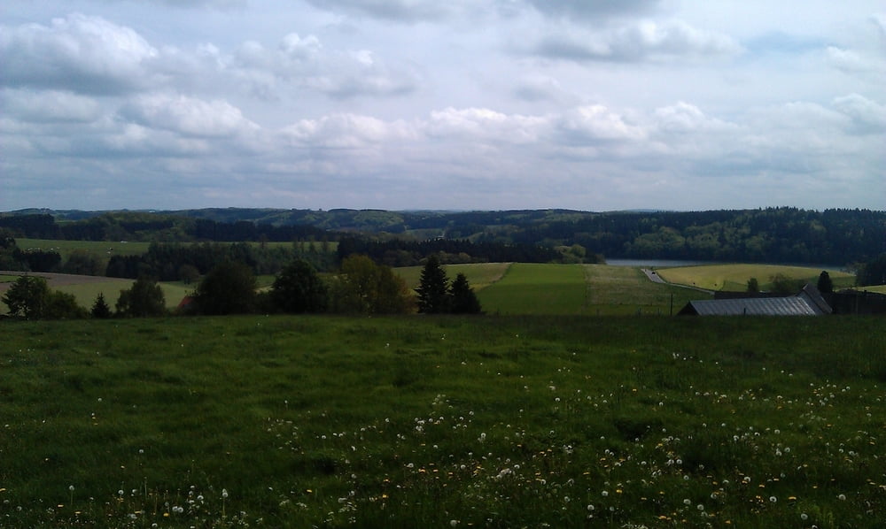
Die Touren beginnen in Schwelm, führen durch das Bergische Land und Sauerland. Sobald man aus Schwelm heraus ist, fährt man die ganze Zeit über Land, durch kleine Ortschaften, Wälder und Wiesen immer mit super Panorama. Die 72 Runde war super ausgeschildert, so dass man sich nie verfahren hat!
Klasse wir kommen nächstes Jahr wieder!
Viel Spaß beim nachfahren
Further information at
http://www.schwelmerrsc.de/unserertf.htmlTour gallery
Tour map and elevation profile
Minimum height 177 m
Maximum height 407 m
Comments

Anfahrt vom Hildener Kreuz über die A 46 und die A1.
GPS tracks
Trackpoints-
GPX / Garmin Map Source (gpx) download
-
TCX / Garmin Training Center® (tcx) download
-
CRS / Garmin Training Center® (crs) download
-
Google Earth (kml) download
-
G7ToWin (g7t) download
-
TTQV (trk) download
-
Overlay (ovl) download
-
Fugawi (txt) download
-
Kompass (DAV) Track (tk) download
-
Track data sheet (pdf) download
-
Original file of the author (gpx) download
Add to my favorites
Remove from my favorites
Edit tags
Open track
My score
Rate


