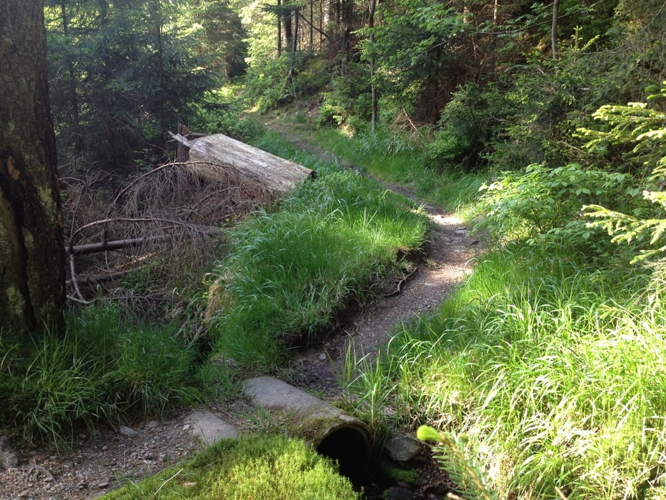
Los geht´s in Goldkronach über Sickenreuth in den Goldkronacher Forst. Auf Forstwegen fährt man bis zu "Täfelein", überquert die Panoramastraße und fährt über einen Winterwanderweg zum Ochsenkopfgipfel.
Ähnlich ist der Rückweg, nur ab dem S-Weg zweigt man natürlich ab und nimmt den schönen Trail noch mit. Und zum Schluss gibt es noch den Häfnersberg, ein Trail bis in die Ortsmitte.
Viel Spass!
Tour map and elevation profile
Minimum height 441 m
Maximum height 1019 m
Comments

A9>Bayreuth nord>Goldkronach
GPS tracks
Trackpoints-
GPX / Garmin Map Source (gpx) download
-
TCX / Garmin Training Center® (tcx) download
-
CRS / Garmin Training Center® (crs) download
-
Google Earth (kml) download
-
G7ToWin (g7t) download
-
TTQV (trk) download
-
Overlay (ovl) download
-
Fugawi (txt) download
-
Kompass (DAV) Track (tk) download
-
Track data sheet (pdf) download
-
Original file of the author (gpx) download
Add to my favorites
Remove from my favorites
Edit tags
Open track
My score
Rate

