


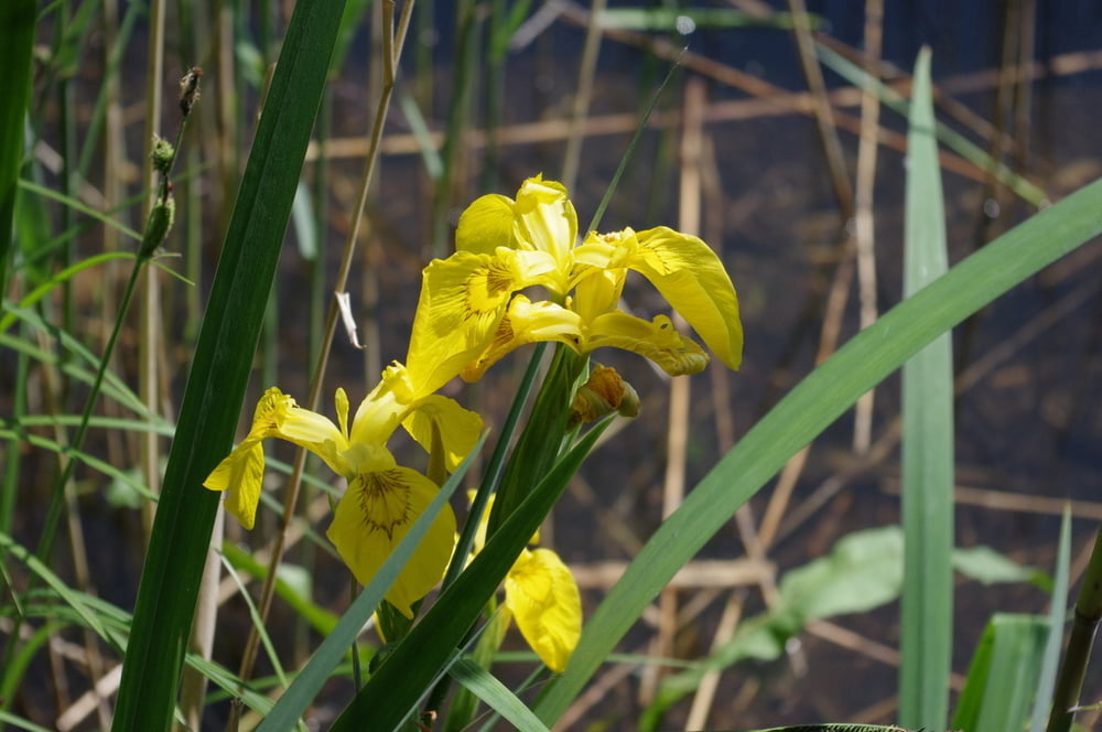
Eine wunderschöne Rundwanderung um den sauberen Sacrower See.
Bei schönem Wetter kann an einigen Stellen nett gebadet werden. Das geht hir mit und ohne Klamotten. Den Leuten ist es egal wie jemand in das Wasser rennt.
Schön ist jedenfalls dass der Uferweg noch nicht so völlig übelaufen ist wie an den Grunewaldseen in Berlin.
In Groß Glienicke kann am Sandstrand ein Eis genommen werden und in Sacrow lädt der Rittersaal zum Pause machen ein.
Viel Spass.
Further information at
https://de.wikipedia.org/wiki/Sacrower_SeeTour gallery
Tour map and elevation profile
Minimum height 27 m
Maximum height 49 m
More about the tour author
|
|
Pheinz |
Comments

Auf dem Parkplatz am Schlosspark geht es los.
GPS tracks
Trackpoints-
GPX / Garmin Map Source (gpx) download
-
TCX / Garmin Training Center® (tcx) download
-
CRS / Garmin Training Center® (crs) download
-
Google Earth (kml) download
-
G7ToWin (g7t) download
-
TTQV (trk) download
-
Overlay (ovl) download
-
Fugawi (txt) download
-
Kompass (DAV) Track (tk) download
-
Track data sheet (pdf) download
-
Original file of the author (gpx) download
More about the tour author
|
|
Pheinz |
Add to my favorites
Remove from my favorites
Edit tags
Open track
My score
Rate