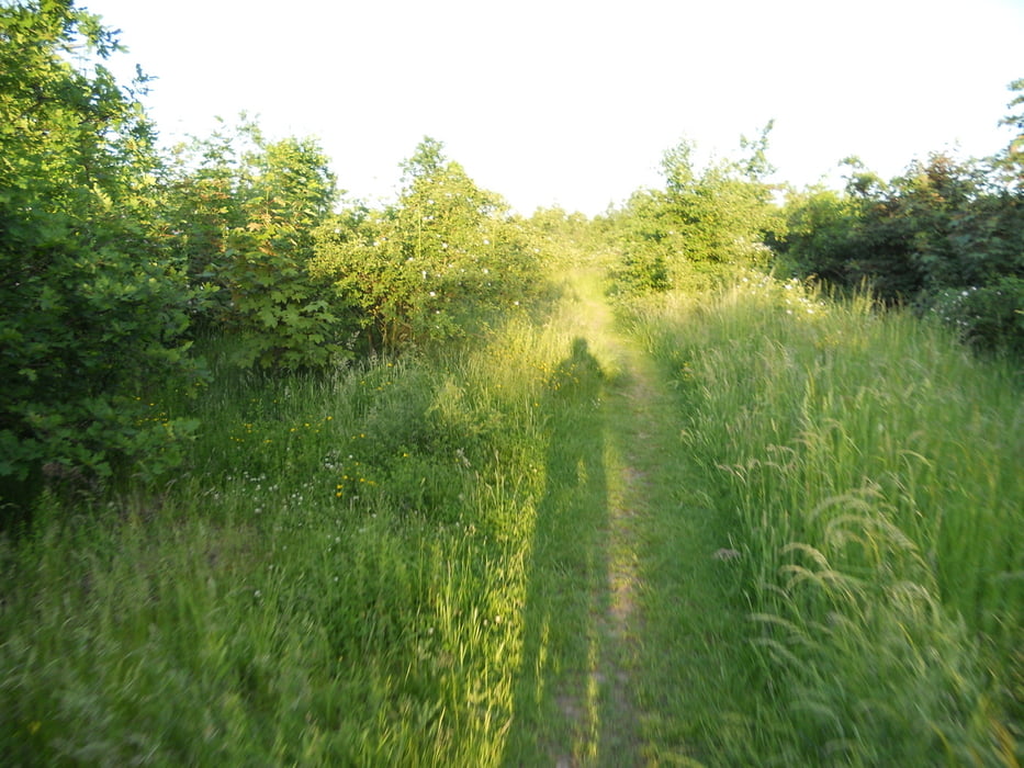
Kleine MTB Strecke im Duisburger Westen.Ist wohl mehr etwas in Richtung abendlicher Trainigsrunde.Wie oft man die Halden hochfährt,bleibt jedem selber überlassen.
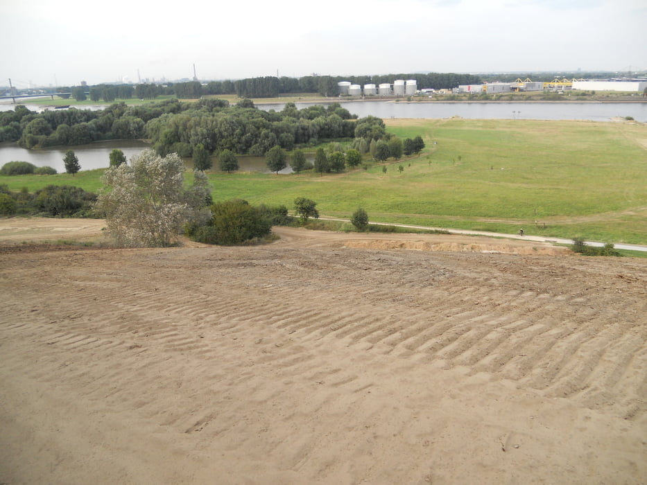
Um die Strecke ein wenig zu erweitern,lässt sich bei trockenem Wetter noch ein Hillclimbing von ca 100m/37HM einpflegen,wobei die angekippte Böschung von rechts nach links steiler wird.Fotos sind beigefügt.
Tour gallery
Tour map and elevation profile
Minimum height 24 m
Maximum height 58 m
Comments

Einstieg in die Runde ist an jeder Stelle der Strecke möglich.
GPS tracks
Trackpoints-
GPX / Garmin Map Source (gpx) download
-
TCX / Garmin Training Center® (tcx) download
-
CRS / Garmin Training Center® (crs) download
-
Google Earth (kml) download
-
G7ToWin (g7t) download
-
TTQV (trk) download
-
Overlay (ovl) download
-
Fugawi (txt) download
-
Kompass (DAV) Track (tk) download
-
Track data sheet (pdf) download
-
Original file of the author (gpx) download
Add to my favorites
Remove from my favorites
Edit tags
Open track
My score
Rate


