
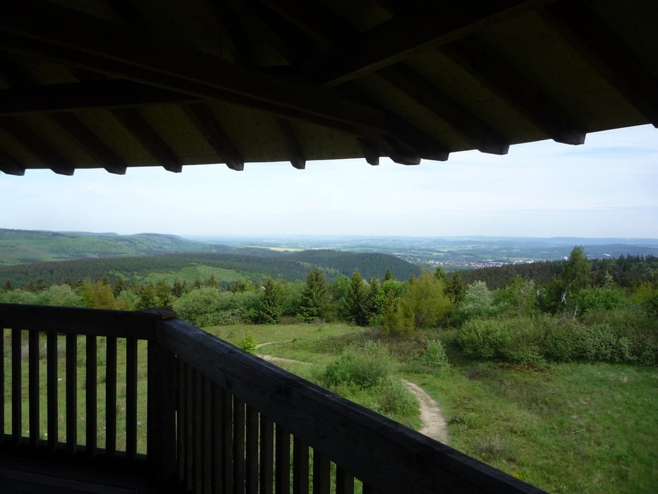

Obwohl hier schon eine ähnliche Tour existiert, die wir abgefahren sind (veieln Dank!), gibt es sie nochmal mit leichten Abweichungen. Eine super Mittelgebirgstour mit jedem möglichen Bodenbelag, feinstem Laubwald und schönen Aussichten.
Tour gallery


Tour map and elevation profile
Minimum height 43 m
Maximum height 468 m
More about the tour author
|
|
Flash |
Comments
Bahnhof Altenbeken oder Hörstel.
GPS tracks
Trackpoints-
GPX / Garmin Map Source (gpx) download
-
TCX / Garmin Training Center® (tcx) download
-
CRS / Garmin Training Center® (crs) download
-
Google Earth (kml) download
-
G7ToWin (g7t) download
-
TTQV (trk) download
-
Overlay (ovl) download
-
Fugawi (txt) download
-
Kompass (DAV) Track (tk) download
-
Track data sheet (pdf) download
-
Original file of the author (gpx) download
More about the tour author
|
|
Flash |
Add to my favorites
Remove from my favorites
Edit tags
Open track
My score
Rate
Dörenther Klippen
ich bin die Tour am Wochenende gefahren. Der Streckenabschnitt Dörenther Klippen ist für MTB's gesperrt. Dicke neue Hinweisschilder und andere Aufpasser überall.
Ab dem Campingplatz habe ich also den Radweg nach Brochterbeck genommen. Dort war der Einstieg wieder möglich.
Matthias