Login

Forgotten password?

Cookies have to be accepted!
Your browser's cookie functionality is disabled. Please enable this functionality.

Not a member yet?

Register now
Login

Available for registred users only

Log in to use this feature.

Forgotten password?

Cookies have to be accepted!
Your browser's cookie functionality is disabled. Please enable this functionality.

Not a member yet?

Register now
Filter
Categories
Advanced filters
  • Distance (km)
  • Height
Save filters Reset filter

TrackRank

QRCode

Technical data

Distance9,1 km Height156 m Way down142 m Duration03:30 h:m Date27.05.2012
Scores Author User Landscape Fun factor Fitness Technique

Statistics

1885 Views 2 Scores 205 Downloads 4.50 Average
Rate
  • Track data sheet
  • Directions
  • Downloads
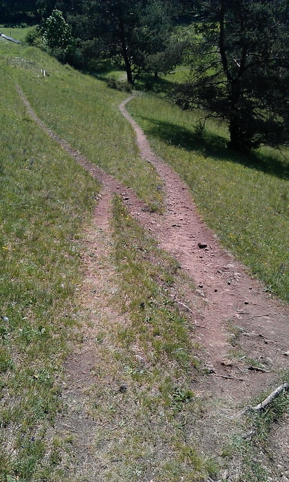
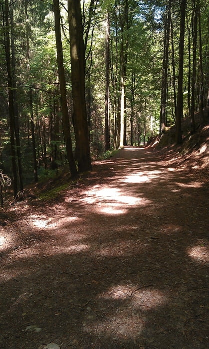
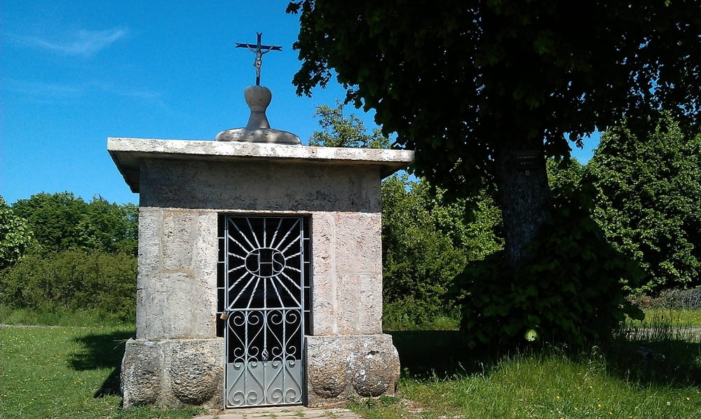
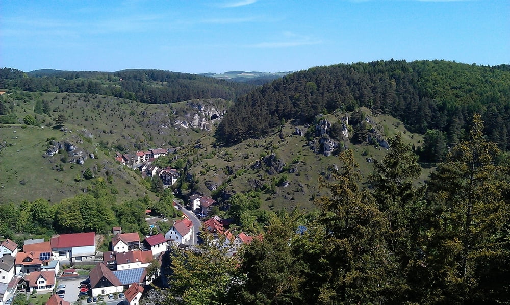
Eine sehr schöne Wanderung,die erst über einen Höhenweg veräuft. Und dann durch das bewaldete Püttlachtal führt. Als Einkehrmöglichkeiten bieten sich das Restaurant zum Kappellenhof (an Wochenenden reservation nötig) und das Waldcaffee in Pottenstein an. Der Weg ist die meiste Zeit gekiest, aber zwischendurch auch manchmal geteert. Zum Parken empfielt sich der Wanderparkplatz unterhalb der Pottensteiner Burg. Für die Wanderung empfielt sich festes Schuhwerk, da der Abstecher auf den Burgberg durchaus flesig ist. Insgesamt ist diese Wanderung auch für Familien geeignet.

Tour gallery

Tour map and elevation profile

  • Open Street Map
  • Google
Minimum height 354 m Maximum height 492 m Detailed view

More about the tour author

seb123212
Member since 2010

Send private message

Comments

koolkath on 26.10.2013

Schöne Tour

Sehr schöne und abwechslungsreiche Tour. Schön zu gehen :-)
Rucki on 01.08.2016

Sehr schöne Tour

Wir kommen bereits über 20 Jahre nach Pottenstein und machen immer wieder diese wunderbare Wanderung. Vor allem die Pause im Kappellenhof ist besonders zu empfehlen.

GPS tracks

Trackpoints
  • GPX / Garmin Map Source (gpx) download
  • TCX / Garmin Training Center® (tcx) download
  • CRS / Garmin Training Center® (crs) download
  • Google Earth (kml) download
  • G7ToWin (g7t) download
  • TTQV (trk) download
  • Overlay (ovl) download
  • Fugawi (txt) download
  • Kompass (DAV) Track (tk) download
  • Track data sheet (pdf) download
  • Original file of the author (gpx) download

More about the tour author

seb123212
Member since 2010

Send private message
Share track
Add to my favorites
Remove from my favorites
Edit tags
My score
Rate
Track: Pottenstein-Höhenweg-Püttlachtal-Pottenstein
Type: Hiking
Distance: 9,1 km
Evaluated on:
Duration:
Day(s)
Hour(s)
Minute(s)
Score: Landscape Fun factor Fitness Technique