


Wanderung Winzerer Höhen bei Regensburg
Wir wanderten an einem herrlichen Januartag die Winzerer
Höhen entlang, unser Startpunktt war die kleine Ortschaft Kager bei Kneiting.
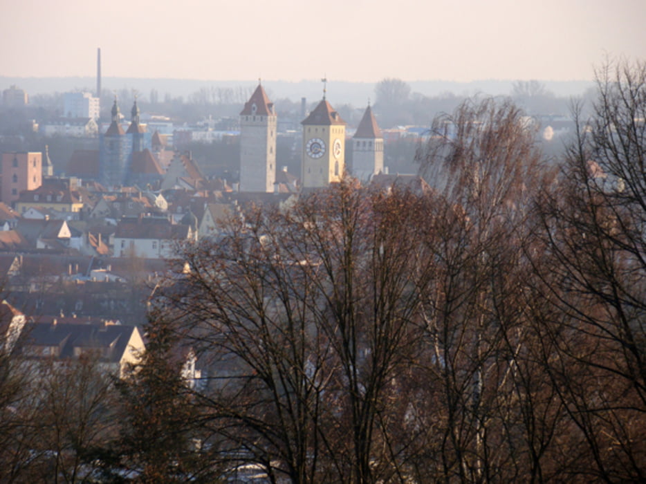
Dieser Weg bietet herrliche Ausblicke auf das Donautal und auf die Altstadt von Regensburg aus der Höhe herab.
Der Abstieg in die Stadt führt vorbei an der Dreifaltigkeitskirche und der altehrwürdigen Seidenplantage zum Auerbräu mit zünftigem Essen und gutem Bier.
Im Sommer bietet ein Grillplatz mit mehrerer Grillmöglichkeiten auf halbem Weg die Möglichkeit, ein Picknick einzulegen.
Tour gallery


Tour map and elevation profile
Minimum height 322 m
Maximum height 444 m
More about the tour author
|
|
biologicus |
Comments

Mit dem Auto nach Kager bei Kneiting, dort an passender Stelle parken und zum Startpunkt laufen.
Alternativ: Mit der Bahn nach Regensburg Hbf. und vom dortigen Busbahnhof Albertstraße nach Kneiting (z.B. Linie 12), von dort zum Startpunkt in Kager laufen.
GPS tracks
Trackpoints-
GPX / Garmin Map Source (gpx) download
-
TCX / Garmin Training Center® (tcx) download
-
CRS / Garmin Training Center® (crs) download
-
Google Earth (kml) download
-
G7ToWin (g7t) download
-
TTQV (trk) download
-
Overlay (ovl) download
-
Fugawi (txt) download
-
Kompass (DAV) Track (tk) download
-
Track data sheet (pdf) download
-
Original file of the author (gpx) download
More about the tour author
|
|
biologicus |
Add to my favorites
Remove from my favorites
Edit tags
Open track
My score
Rate