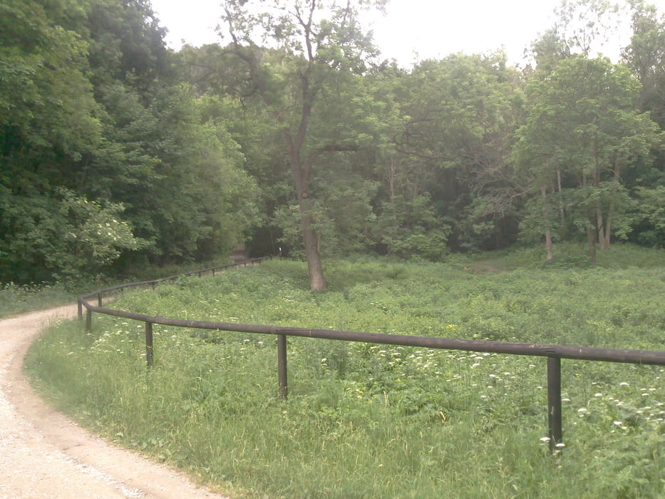
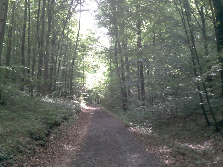
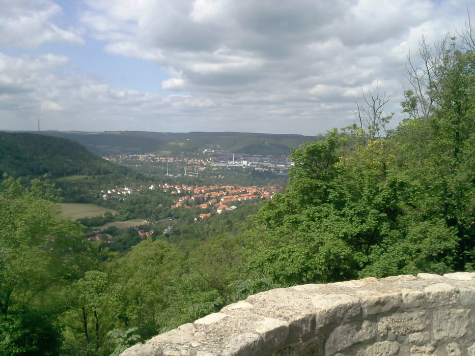
Es ist eine relativ einfache aber schöne Tour südöstlich von Jena. Der humane Aufstieg erfolgt von Wöllnitz aus durch das Pennickental, am Fürstenbrunnen vorbei bis auf die Horizontale hinauf.
Die Wege sind relativ gut befestigt, zum Teil aber auch schmale Wanderwege oder zerfahrene Forstwege. Die Tour mit einem Mountainbike zu absolvieren ist empfehlenswert.
Tour gallery
Tour map and elevation profile
Minimum height 122 m
Maximum height 391 m
Comments

GPS tracks
Trackpoints-
GPX / Garmin Map Source (gpx) download
-
TCX / Garmin Training Center® (tcx) download
-
CRS / Garmin Training Center® (crs) download
-
Google Earth (kml) download
-
G7ToWin (g7t) download
-
TTQV (trk) download
-
Overlay (ovl) download
-
Fugawi (txt) download
-
Kompass (DAV) Track (tk) download
-
Track data sheet (pdf) download
-
Original file of the author (gpx) download
Add to my favorites
Remove from my favorites
Edit tags
Open track
My score
Rate


