
")

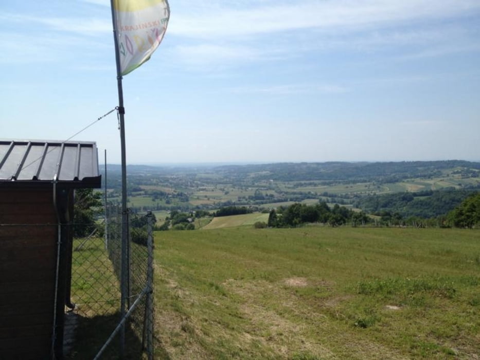
Start ist im schönen Kurort Bad Gleichenberg. Nach einem gemütlichen Anstieg auf den Glbg. Kogel gehts dann schon hinab nach Mahrensdorf, wo es dann kurz auf der Straße nach rechts weg hinauf nach Petzelsdorf geht. Von dort aus geht es dann auf Gemeindestraßen vorbei an Kellerstöckln, durch Waldwege bis nach Fehring.
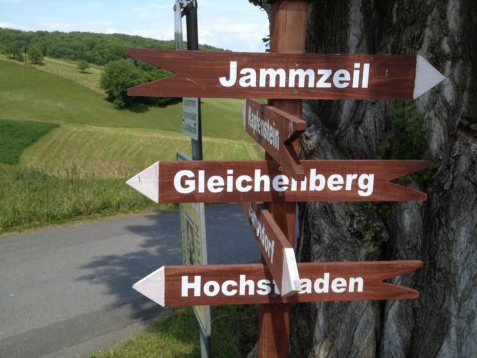
In Fehring fährt man dann ein Stück in Richtung Jennersdorf, dann gehts rechts weg in ein langes, leicht ansteigendes Waldstück. Zwischenziel ist Hirzenriegl, dann geht es weiter nach Neuhaus und Bonisdorf (Burgenland)
Dort fährt man dann eine richtige Downhillstrecke (wer möchte) hinunter.
Dann geht es über Kalch, nach Jamm, St. Anna wieder nach Bad Gleichenberg.
Tour gallery
Tour map and elevation profile
Minimum height 251 m
Maximum height 428 m
More about the tour author

|
ruptru |
Comments

Weg nach Gleichenberg:
von Graz (A2) nach Gleisdorf, runter von der Autobahn, weiter nach Feldbach und dann nach Glbg
GPS tracks
Trackpoints-
GPX / Garmin Map Source (gpx) download
-
TCX / Garmin Training Center® (tcx) download
-
CRS / Garmin Training Center® (crs) download
-
Google Earth (kml) download
-
G7ToWin (g7t) download
-
TTQV (trk) download
-
Overlay (ovl) download
-
Fugawi (txt) download
-
Kompass (DAV) Track (tk) download
-
Track data sheet (pdf) download
-
Original file of the author (gpx) download
More about the tour author
|
|
ruptru |
Add to my favorites
Remove from my favorites
Edit tags
Open track
My score
Rate