


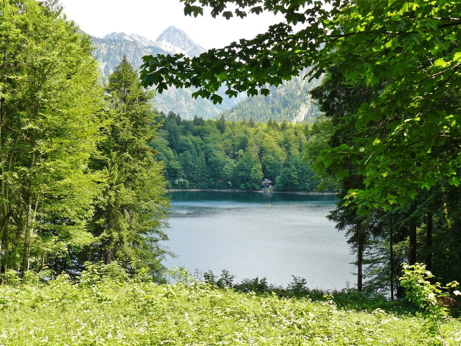
Die Tour startet an der Bergstation Söllereck www.familienberg-soellereck.de/. Gemütlich geht es über den Wanderweg "Naturerlebnispfad" abwärts zum Freibergsee. Zwischendurch gibt es steilere Strecken, die allerdings auch umgangen werden können. Wer will kann im Freibad in den Freibergsee abtauchen. Entlang der ganzen Strecke gibt es schöne Aussichtspunkte www.panoramio.com/photo/73183000
Der Rückweg geht leicht bergauf bis zur Talstation Söllereckbahn. Wer will kann ein Runde rodeln www.familienberg-soellereck.de/sommer/rodel/.
Dann gibt es die Möglichkeit, die Bergbahn hinauf zum Söllereck zu nehmen oder entlang der blauen Piste wieder aufwärts zur Bergstation zu laufen.
Further information at
http://www.oberstdorf.de/Tour gallery

Tour map and elevation profile
Minimum height 953 m
Maximum height 1418 m
More about the tour author
|
|
MatthiasBy |
Comments

Der Parkplatz an der Talstation der Söllereckbahn www.oberstdorf.de/wandern/bergbahnen/soellereckbahn/ ist ausreichend groß.
GPS tracks
Trackpoints-
GPX / Garmin Map Source (gpx) download
-
TCX / Garmin Training Center® (tcx) download
-
CRS / Garmin Training Center® (crs) download
-
Google Earth (kml) download
-
G7ToWin (g7t) download
-
TTQV (trk) download
-
Overlay (ovl) download
-
Fugawi (txt) download
-
Kompass (DAV) Track (tk) download
-
Track data sheet (pdf) download
-
Original file of the author (gpx) download
More about the tour author
|
|
MatthiasBy |
Add to my favorites
Remove from my favorites
Edit tags
Open track
My score
Rate