Login

Forgotten password?

Cookies have to be accepted!
Your browser's cookie functionality is disabled. Please enable this functionality.

Not a member yet?

Register now
Login

Available for registred users only

Log in to use this feature.

Forgotten password?

Cookies have to be accepted!
Your browser's cookie functionality is disabled. Please enable this functionality.

Not a member yet?

Register now
Filter
Categories
Advanced filters
  • Distance (km)
  • Height
Save filters Reset filter

TrackRank

QRCode

Technical data

Distance31,4 km Height659 m Way down656 m Duration00:00 h:m Date03.06.2012
Scores Author Landscape Fun factor Fitness Technique

Statistics

236 Views Scores 44 Downloads Average
Rate
  • Track data sheet
  • Directions
  • Downloads

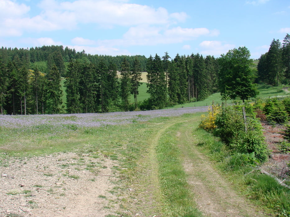
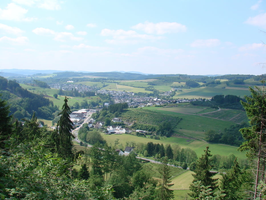
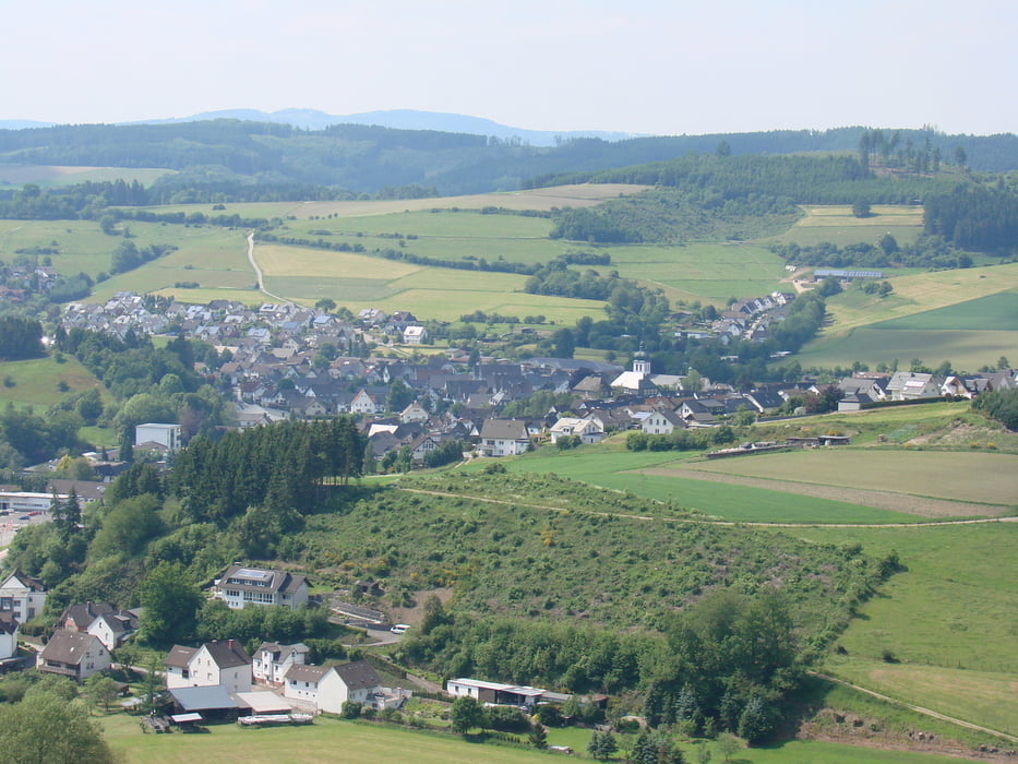
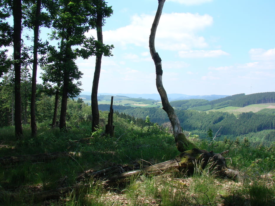
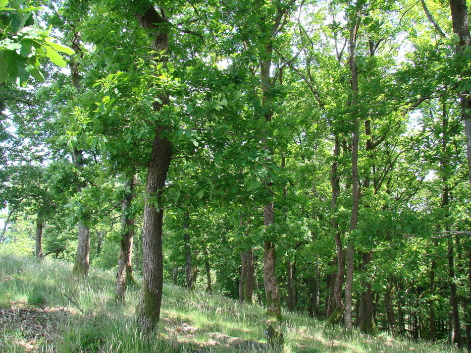
Eine abwechslungsreiche Tour in schöner Natur und mit sehr schönen

Aussichten!  Beim umfahren des Schneiderskopfes unbedingt mal zu Fuß

den höchsten Punkt besteigen....es lohnt sich !

Elspe - Ostzone - Cobbenroder Aussicht - Schwartmecke - Bracht - Halberbracht - Hachen - Elspe

Tour gallery

Tour map and elevation profile

  • Open Street Map
  • Google
Minimum height 265 m Maximum height 580 m Detailed view

More about the tour author

stageblack
Member since 2011

Send private message

Comments

GPS tracks

Trackpoints
  • GPX / Garmin Map Source (gpx) download
  • TCX / Garmin Training Center® (tcx) download
  • CRS / Garmin Training Center® (crs) download
  • Google Earth (kml) download
  • G7ToWin (g7t) download
  • TTQV (trk) download
  • Overlay (ovl) download
  • Fugawi (txt) download
  • Kompass (DAV) Track (tk) download
  • Track data sheet (pdf) download
  • Original file of the author (gpx) download

More about the tour author

stageblack
Member since 2011

Send private message
Share track
Add to my favorites
Remove from my favorites
Edit tags
My score
Rate
Track: Rund ums Oenetal
Type: Mountain bike
Distance: 31,4 km
Evaluated on:
Duration:
Day(s)
Hour(s)
Minute(s)
Score: Landscape Fun factor Fitness Technique