


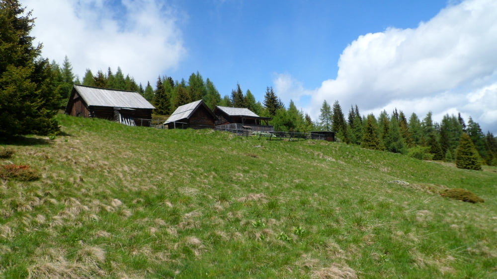
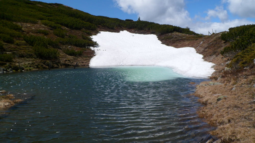
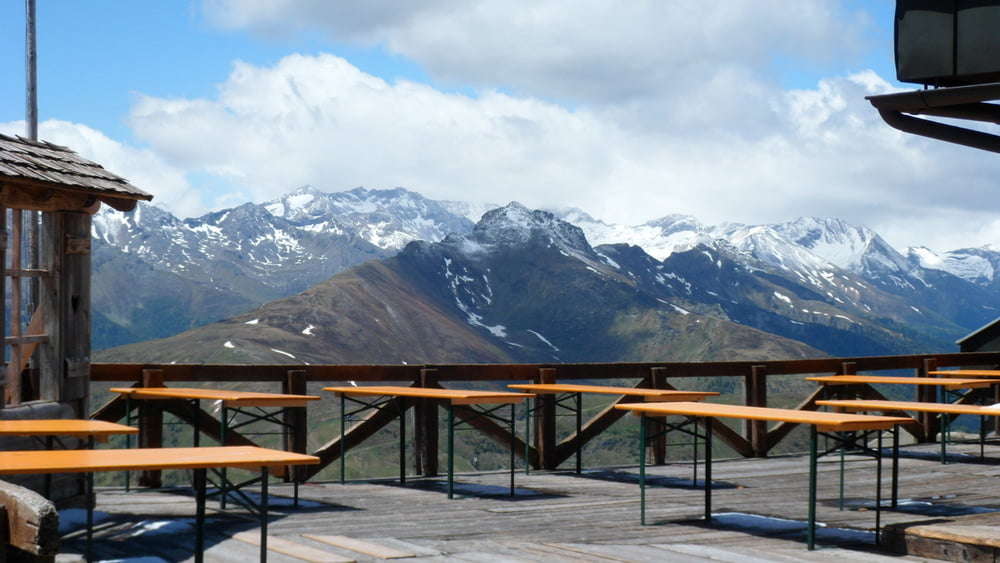
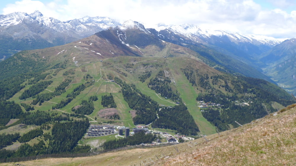
Die Runde sollte man im Uhrzeigersinn wandern. Ausgangspunkt ist der Parkplatz P3 auf der Katschberghöhe. Am Anfang, um so richtig warm zu werden, geht es im Wald rund um das Aineck herum. Teilweise werden die Skipisten gekreuzt und nach etwas der Hälfte des Weges kann man in zwei Hütten Rast machen. Es geht daraufhin richtig steil auf den Gipfel des Aineck, von dem man einge geniale Aussicht bis hin zum Großglockner haben kann. Aber auch die Blick ins Tal auf die Tauernautobahn, das Tscharneck und Katschberg ist lohnenswert.
Der Abstieg ist entlang der Piste zur Talstation der Bergbahn.
Kondition ist empfehlenswert - zumindest für den Aufstieg. Insgesamt sind immerhin mehr als 700 Höhenmeter zu bezwinden, wenngleich die Technik nicht die Herausforderung dieser Tour bildet.
Für Kinderwagen ungeeignet, ebenso für kleine Kinder.
Viel Spaß
Tour gallery
Tour map and elevation profile
Minimum height 1604 m
Maximum height 2213 m
More about the tour author

|
Gendrisch |
Comments

GPS tracks
Trackpoints-
GPX / Garmin Map Source (gpx) download
-
TCX / Garmin Training Center® (tcx) download
-
CRS / Garmin Training Center® (crs) download
-
Google Earth (kml) download
-
G7ToWin (g7t) download
-
TTQV (trk) download
-
Overlay (ovl) download
-
Fugawi (txt) download
-
Kompass (DAV) Track (tk) download
-
Track data sheet (pdf) download
-
Original file of the author (gpx) download
More about the tour author
|
|
Gendrisch |
Add to my favorites
Remove from my favorites
Edit tags
Open track
My score
Rate