Login

Forgotten password?

Cookies have to be accepted!
Your browser's cookie functionality is disabled. Please enable this functionality.

Not a member yet?

Register now
Login

Available for registred users only

Log in to use this feature.

Forgotten password?

Cookies have to be accepted!
Your browser's cookie functionality is disabled. Please enable this functionality.

Not a member yet?

Register now
Filter
Categories
Advanced filters
  • Distance (km)
  • Height
Save filters Reset filter

TrackRank

QRCode

Technical data

Distance36,7 km Height0 m Way down m Duration03:40 h:m Date21.08.2007
Scores Author Landscape Fun factor Fitness Technique

Statistics

1608 Views 3 Scores 143 Downloads 3.67 Average
Rate
  • Track data sheet
  • Directions
  • Downloads
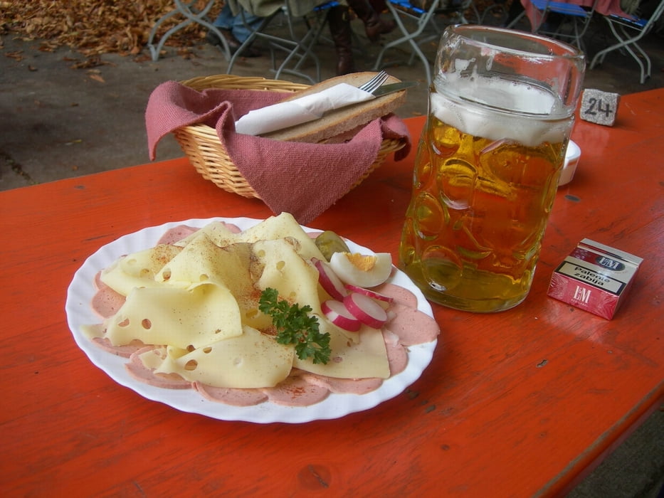
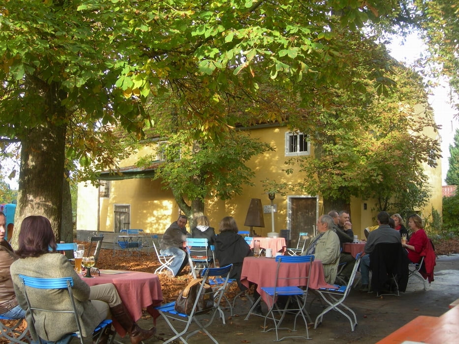
mittelschwere Mountainbiketour mit herrlichem Biergarten in Weihbüchl - leider nur Sonntags geöffnet

Tour gallery

Tour map and elevation profile

  • Open Street Map
  • Google
Minimum height 99999 m Maximum height -99999 m Detailed view

More about the tour author

Ready522

Comments

Beppo on 21.08.2007

Tolle Bike-Tour

Eine etwas strenge, aber wunderschöne tout mit einem super Biergarten!
Herzlichen Dank aus Rinchnach
Renate Mauer on 03.05.2008

falsche Tour

irgendwas stimmt hier nicht.
1457 hm in 8,1 km ??
Ich wohne bei Landshut hätte gerne die tour bei Weihbüchl gefahren und nicht die angebotene bei St. Johann.

Sorry - schau mal jetzt muss es passen

GPS tracks

Trackpoints
  • GPX / Garmin Map Source (gpx) download
  • TCX / Garmin Training Center® (tcx) download
  • CRS / Garmin Training Center® (crs) download
  • Google Earth (kml) download
  • G7ToWin (g7t) download
  • TTQV (trk) download
  • Overlay (ovl) download
  • Fugawi (txt) download
  • Kompass (DAV) Track (tk) download
  • Track data sheet (pdf) download
  • Original file of the author (gpx) download

More about the tour author

Ready522

Share track
Add to my favorites
Remove from my favorites
Edit tags
My score
Rate
Track: Landshut Niederaichbach Weihbüchl
Type: Mountain bike
Distance: 36,7 km
Evaluated on:
Duration:
Day(s)
Hour(s)
Minute(s)
Score: Landscape Fun factor Fitness Technique