Login

Forgotten password?

Cookies have to be accepted!
Your browser's cookie functionality is disabled. Please enable this functionality.

Not a member yet?

Register now
Login

Available for registred users only

Log in to use this feature.

Forgotten password?

Cookies have to be accepted!
Your browser's cookie functionality is disabled. Please enable this functionality.

Not a member yet?

Register now
Filter
Categories
Advanced filters
  • Distance (km)
  • Height
Save filters Reset filter

TrackRank

QRCode

Technical data

Distance80,4 km Height547 m Way down560 m Duration04:00 h:m Date17.06.2012
Scores Author Landscape Fun factor Fitness Technique

Statistics

147 Views Scores 5 Downloads Average
Rate
  • Track data sheet
  • Directions
  • Downloads
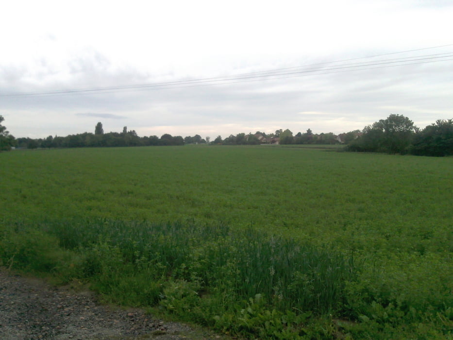
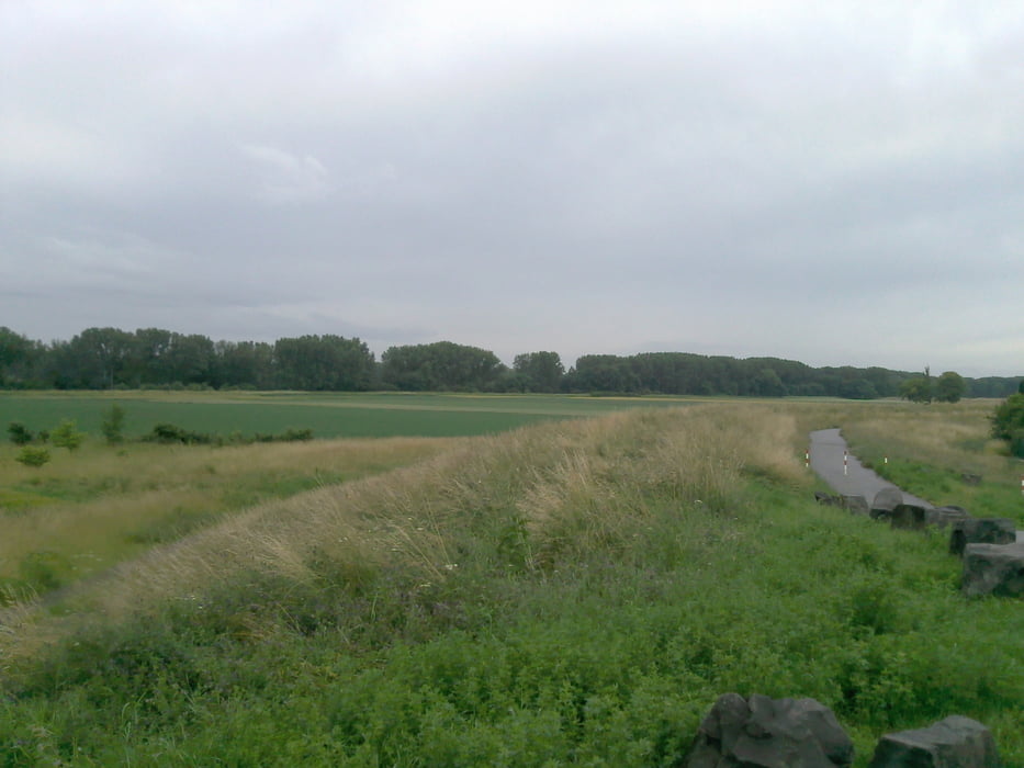
Dies ist eine nette Tagestour für jedermann. Ich fuhr sie am Sonntag Vormittag - so gab es relativ wenig Verkehr auf den Strassen.

Tour gallery

Tour map and elevation profile

  • Open Street Map
  • Google
Minimum height 13 m Maximum height 198 m Detailed view

More about the tour author

Mike3108
Member since 2012

Send private message

Comments

GPS tracks

Trackpoints
  • GPX / Garmin Map Source (gpx) download
  • TCX / Garmin Training Center® (tcx) download
  • CRS / Garmin Training Center® (crs) download
  • Google Earth (kml) download
  • G7ToWin (g7t) download
  • TTQV (trk) download
  • Overlay (ovl) download
  • Fugawi (txt) download
  • Kompass (DAV) Track (tk) download
  • Track data sheet (pdf) download
  • Original file of the author (gpx) download

More about the tour author

Mike3108
Member since 2012

Send private message
Share track
Add to my favorites
Remove from my favorites
Edit tags
My score
Rate
Track: kleine Rheinhessentour
Type: Bicycle tours
Distance: 80,4 km
Evaluated on:
Duration:
Day(s)
Hour(s)
Minute(s)
Score: Landscape Fun factor Fitness Technique