Login

Forgotten password?

Cookies have to be accepted!
Your browser's cookie functionality is disabled. Please enable this functionality.

Not a member yet?

Register now
Login

Available for registred users only

Log in to use this feature.

Forgotten password?

Cookies have to be accepted!
Your browser's cookie functionality is disabled. Please enable this functionality.

Not a member yet?

Register now
Filter
Categories
Advanced filters
  • Distance (km)
  • Height
Save filters Reset filter

TrackRank

QRCode

Technical data

Distance18,6 km Height638 m Way down608 m Duration00:00 h:m Date19.06.2012
Scores Author User Landscape Fun factor Fitness Technique

Statistics

1382 Views 1 Score 147 Downloads 4.00 Average
Rate
  • Track data sheet
  • Directions
  • Downloads
eine abwechslungsreiche Wanderung mit vielen Rastplätzen und Einkehrmöglichkeiten.
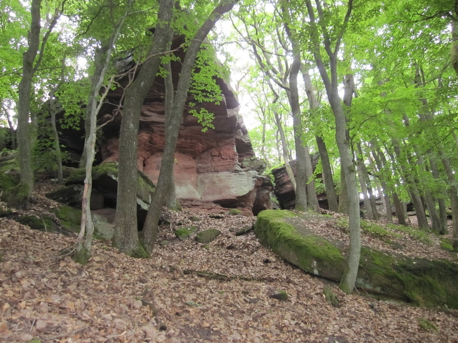
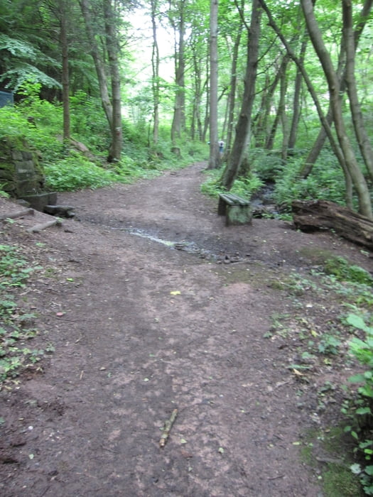
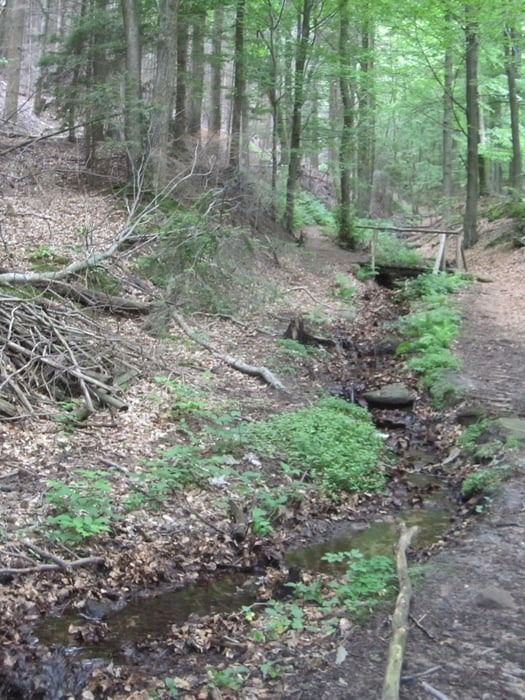
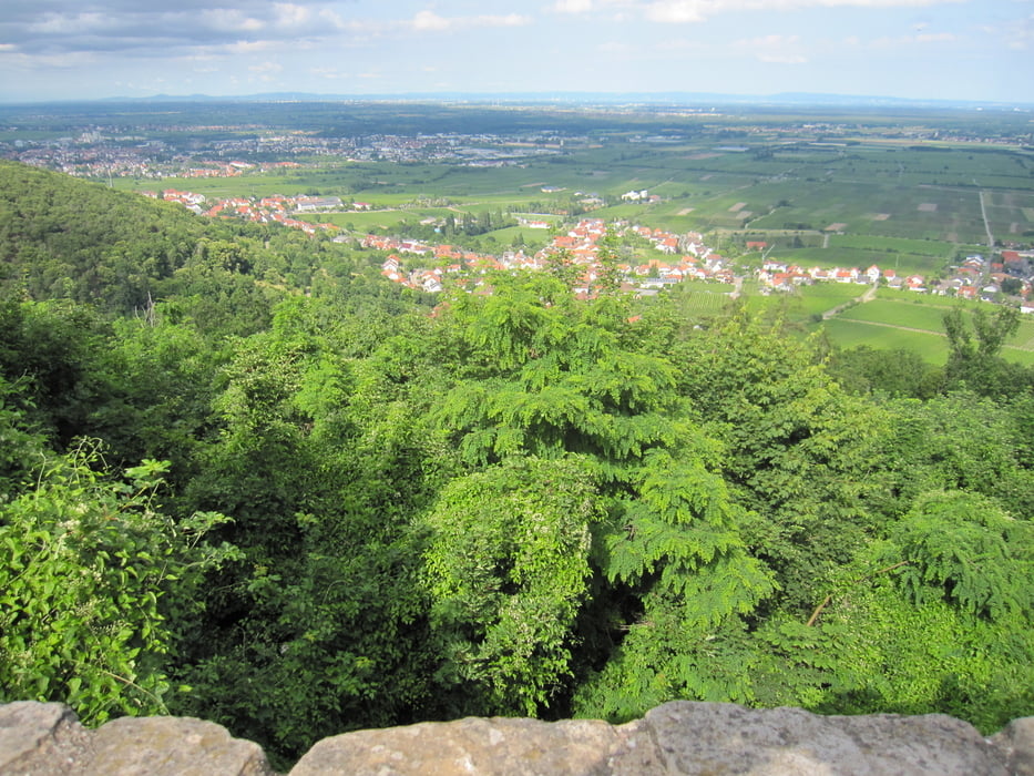
Tour gallery

Tour map and elevation profile

  • Open Street Map
  • Google
Minimum height 223 m Maximum height 684 m Detailed view

More about the tour author

Radegundis
Member since 2009

Send private message

Comments

Camouflage on 25.05.2013

Danke für die schöne Runde

Brauchte dringend Bewegung und habe heute das schöne Wetter ausgenutzt. Hat großen Spaß gemacht!

Grüße

Michael Gehm

A 65 Ausfahrt 13 Neustadt an der Weinstraße, B39 Richtung Landau, L516 Richtung Edenkoben, L515 Richtung Maikammer.

Der Parkplatz liegt nach Maikammer rechts am Ende der Weinfelder.

GPS tracks

Trackpoints
  • GPX / Garmin Map Source (gpx) download
  • TCX / Garmin Training Center® (tcx) download
  • CRS / Garmin Training Center® (crs) download
  • Google Earth (kml) download
  • G7ToWin (g7t) download
  • TTQV (trk) download
  • Overlay (ovl) download
  • Fugawi (txt) download
  • Kompass (DAV) Track (tk) download
  • Track data sheet (pdf) download
  • Original file of the author (gpx) download

More about the tour author

Radegundis
Member since 2009

Send private message
Share track
Add to my favorites
Remove from my favorites
Edit tags
My score
Rate
Track: Maikammer - Kalmit - Hambacherschloss
Type: Hiking
Distance: 18,6 km
Evaluated on:
Duration:
Day(s)
Hour(s)
Minute(s)
Score: Landscape Fun factor Fitness Technique