Login

Forgotten password?

Cookies have to be accepted!
Your browser's cookie functionality is disabled. Please enable this functionality.

Not a member yet?

Register now
Login

Available for registred users only

Log in to use this feature.

Forgotten password?

Cookies have to be accepted!
Your browser's cookie functionality is disabled. Please enable this functionality.

Not a member yet?

Register now
Filter
Categories
Advanced filters
  • Distance (km)
  • Height
Save filters Reset filter

TrackRank

QRCode

Technical data

Distance17,6 km Height437 m Way down437 m Duration04:30 h:m Date23.06.2012
Scores Author Landscape Fun factor Fitness Technique

Statistics

2366 Views Scores 114 Downloads Average
Rate
  • Track data sheet
  • Directions
  • Downloads

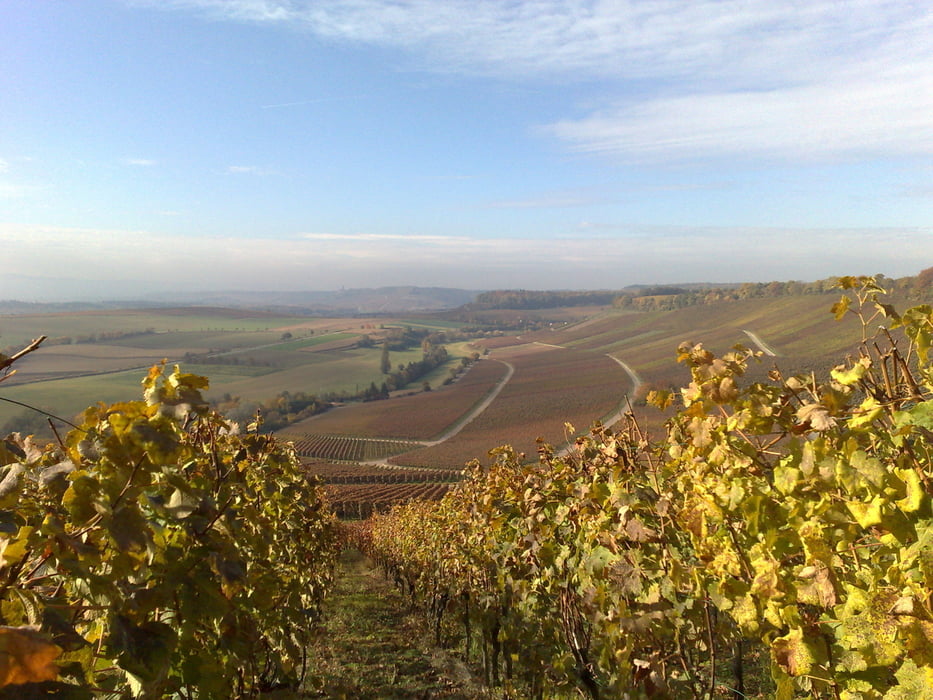
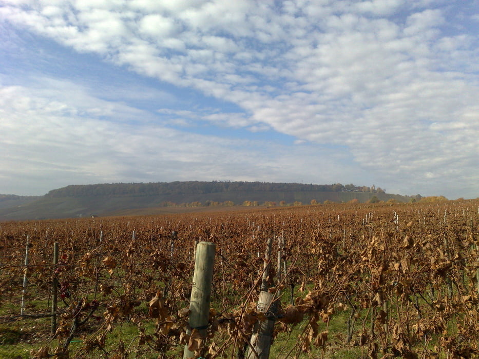
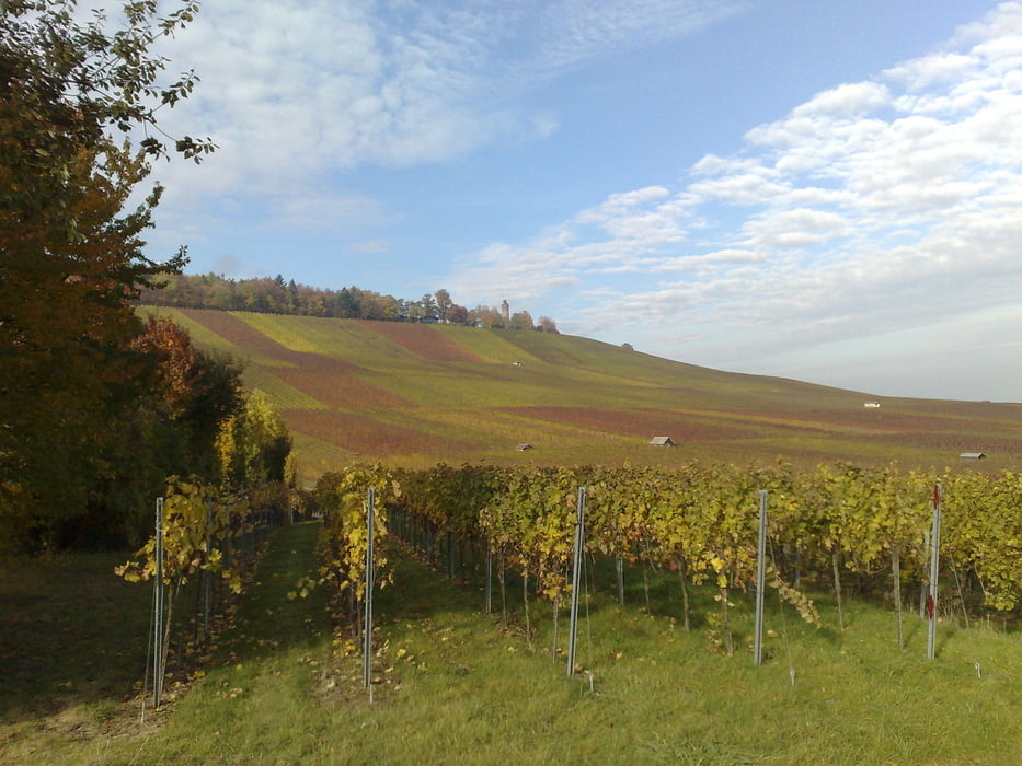
Schöne Rundwanderung (gegen den Uhrzeigersinn) um den Höhenzug Heuchelberg auf überwiegend asphaltierten Wegen.

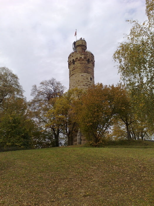
Einkehrmöglichkeiten unterwegs: Waldschenke Hörnle, Heuchelberger Warte (mit Aussichtsturm)
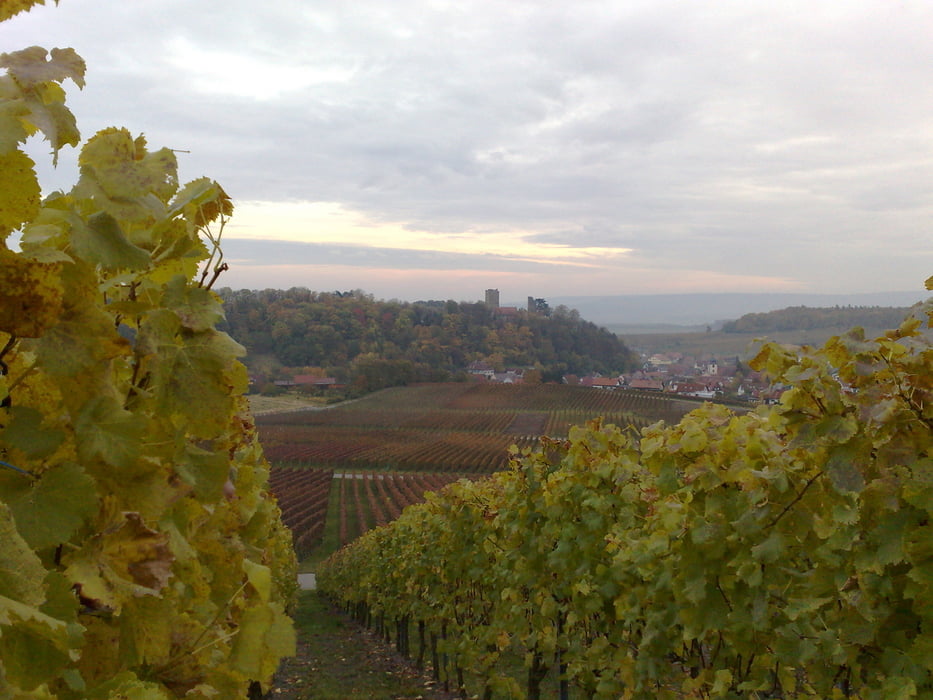
Tour gallery

Tour map and elevation profile

  • Open Street Map
  • Google
Minimum height 184 m Maximum height 334 m Detailed view

More about the tour author

fieselschweif
Member since 2009

Send private message

Comments

Parkmöglichkeit und Start/Ende der Wanderung: Volksbank Neipperg 

GPS tracks

Trackpoints
  • GPX / Garmin Map Source (gpx) download
  • TCX / Garmin Training Center® (tcx) download
  • CRS / Garmin Training Center® (crs) download
  • Google Earth (kml) download
  • G7ToWin (g7t) download
  • TTQV (trk) download
  • Overlay (ovl) download
  • Fugawi (txt) download
  • Kompass (DAV) Track (tk) download
  • Track data sheet (pdf) download
  • Original file of the author (tcx) download

More about the tour author

fieselschweif
Member since 2009

Send private message
Share track
Add to my favorites
Remove from my favorites
Edit tags
My score
Rate
Track: Rundwanderung Heuchelberg
Type: Hiking
Distance: 17,6 km
Evaluated on:
Duration:
Day(s)
Hour(s)
Minute(s)
Score: Landscape Fun factor Fitness Technique