


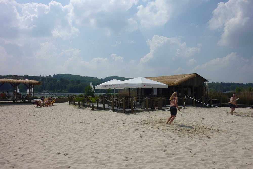
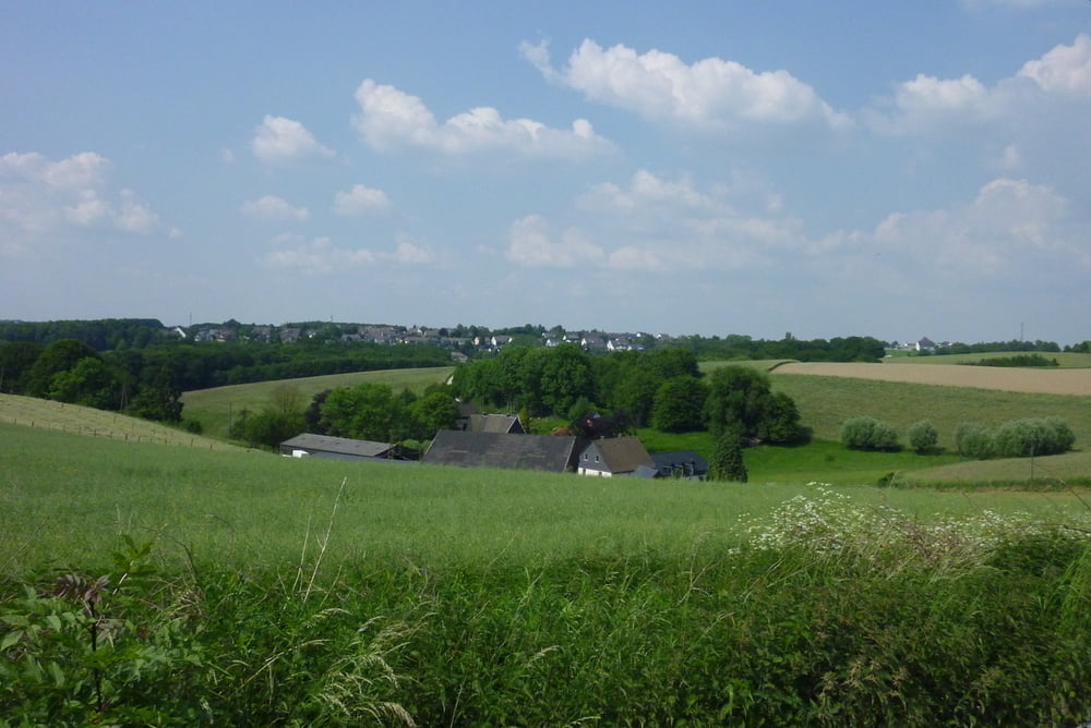
Eine wirklich schöne und lohnenswerte Tour in den Essener Süden. Der Hauptteil der Tour führt auf Freizeitwegen oder wenig bis gar nicht befahrenden Straßen. Hinter dem Baldeneysee machen wir auf leichten und sehr moderaten Steigungen eine großen Bogen bis hin zur Elfringhauserschweiz. Hinter Velbert fährt man auf rund 12 km auf einer alten Bahntrasse immer leicht bergab. Bei schönen Wetter lohnt es sich einen kleinen Abstecher zum Seaside Beach Baldeney einzuplanen.
Further information at
http://www.seaside-beach.de/Tour gallery
Tour map and elevation profile
Minimum height 30 m
Maximum height 268 m
More about the tour author
|
|
stefaneickhoff |
Comments

GPS tracks
Trackpoints-
GPX / Garmin Map Source (gpx) download
-
TCX / Garmin Training Center® (tcx) download
-
CRS / Garmin Training Center® (crs) download
-
Google Earth (kml) download
-
G7ToWin (g7t) download
-
TTQV (trk) download
-
Overlay (ovl) download
-
Fugawi (txt) download
-
Kompass (DAV) Track (tk) download
-
Track data sheet (pdf) download
-
Original file of the author (gpx) download
More about the tour author
|
|
stefaneickhoff |
Add to my favorites
Remove from my favorites
Edit tags
Open track
My score
Rate