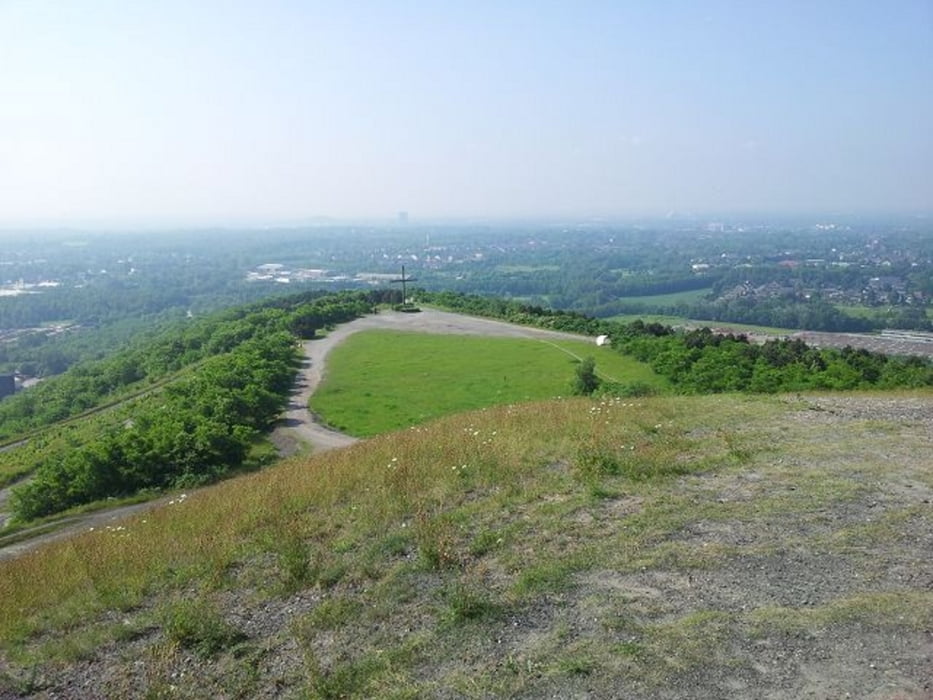
Schöne Feierabendrunde durch die schönen Wälder Bottrops, hier nur einige Sachen der Tour: Halde Haniel, Rotbach, Heidesee, Grafenmühle, Schlageterteich, Golfplatz Jacobi.
Die Runde hat nicht viel Höhenmeter und ist eher zum lockeren Fahren gedacht. Viel Spaß dabei!
Tour gallery
Tour map and elevation profile
Minimum height 41 m
Maximum height 186 m
Comments

Da es ein Rundkurs ist, kann überall (z.B. Bot-Grafenmühle) eingestiegen werden!
GPS tracks
Trackpoints-
GPX / Garmin Map Source (gpx) download
-
TCX / Garmin Training Center® (tcx) download
-
CRS / Garmin Training Center® (crs) download
-
Google Earth (kml) download
-
G7ToWin (g7t) download
-
TTQV (trk) download
-
Overlay (ovl) download
-
Fugawi (txt) download
-
Kompass (DAV) Track (tk) download
-
Track data sheet (pdf) download
-
Original file of the author (gpx) download
Add to my favorites
Remove from my favorites
Edit tags
Open track
My score
Rate


