

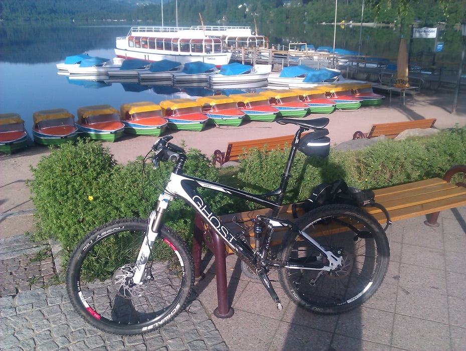
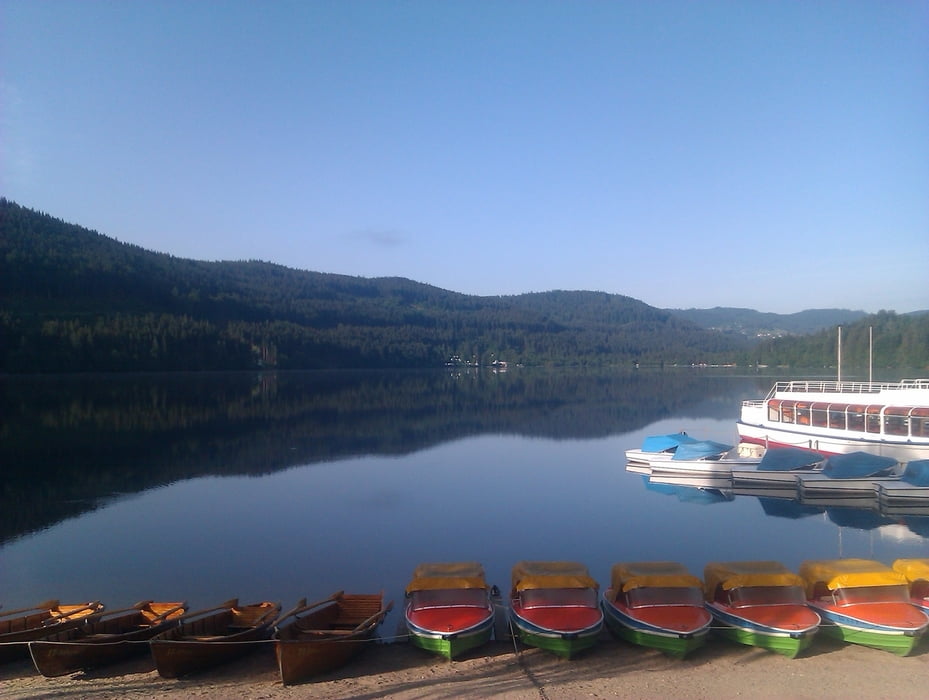
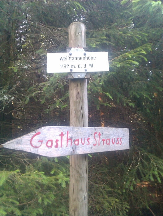
Der Rundkurs führt von Breitnau an der Ravennaschlucht vorbei nach Hinterzarten. Es folgt ein Anstieg von Hinterzarten zum Tittisee. Empfehlenswert ist ein Zwischenstopp an der Promenade mit Blick auf den See. Der Rückweg geht über einen langen Anstieg auf die Weisstannenhöhe. Hierbei ist zu überlegen ob der letzte Anstieg von der anderen Seite genommen wird, da die Variante die ich gefahren bin über einen Trail geht der mit Baumwurzeln gespickt ist und sich als Abfahrt besser eignet. Von der Weisstannenhöhe geht es zurück nach Breitnau.
Viel Spass beim nachfahren und erweitern.
Further information at
http://www.radsportfreunde-rueckenwind.deTour gallery
Tour map and elevation profile
Minimum height 847 m
Maximum height 1187 m
More about the tour author
|
|
klappili |
Comments

GPS tracks
Trackpoints-
GPX / Garmin Map Source (gpx) download
-
TCX / Garmin Training Center® (tcx) download
-
CRS / Garmin Training Center® (crs) download
-
Google Earth (kml) download
-
G7ToWin (g7t) download
-
TTQV (trk) download
-
Overlay (ovl) download
-
Fugawi (txt) download
-
Kompass (DAV) Track (tk) download
-
Track data sheet (pdf) download
-
Original file of the author (gpx) download
More about the tour author
|
|
klappili |
Add to my favorites
Remove from my favorites
Edit tags
Open track
My score
Rate