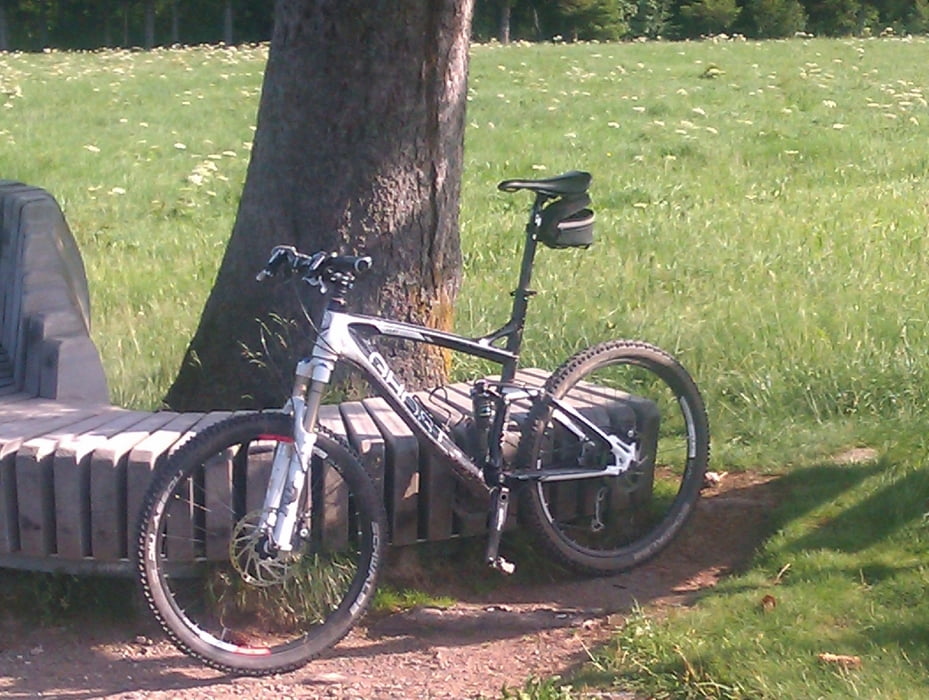
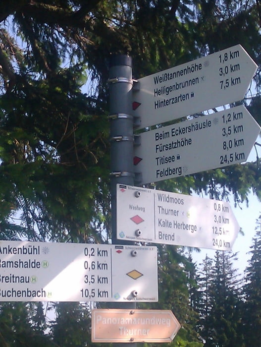
Schöner Rundkurs mit Startpunkt in Breitnau. Sehr Empfehlenswert ist der Blick über das Dreisamtal, an welchem man bis nach Freiburg schauen kann. Es folgt ein Anstieg auf die Fahrenberger Höhe, an der es sich lohnt eine Rast einzulegen und den Blick über Breitnau zu geniessen. Anschliesend folgt die Abfahrt zurück nach Breitnau.
Viel Spass beim nachfahren und erweitern.
Further information at
http://www.radsportfreunde-rueckenwind.deTour gallery
Tour map and elevation profile
Minimum height 756 m
Maximum height 1100 m
Comments

GPS tracks
Trackpoints-
GPX / Garmin Map Source (gpx) download
-
TCX / Garmin Training Center® (tcx) download
-
CRS / Garmin Training Center® (crs) download
-
Google Earth (kml) download
-
G7ToWin (g7t) download
-
TTQV (trk) download
-
Overlay (ovl) download
-
Fugawi (txt) download
-
Kompass (DAV) Track (tk) download
-
Track data sheet (pdf) download
-
Original file of the author (gpx) download
Add to my favorites
Remove from my favorites
Edit tags
Open track
My score
Rate


