


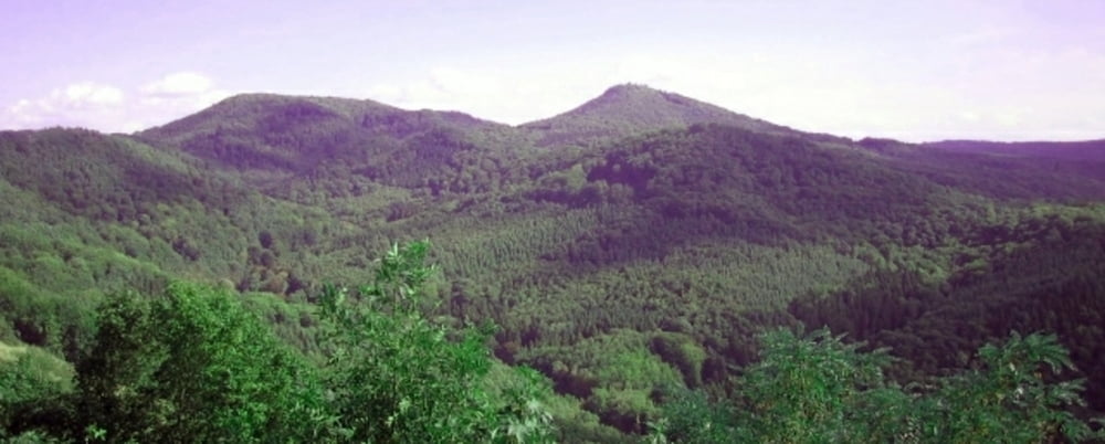
Rundwanderung im Siebengebirge auf Waldpfaden ein wenig abseits vom Rheinstieg. Schöne Ausblicke in das Rheintal, auf das Siebengebirge, schöne Lichtungen.
Gastronomie auf der Margarethenhöhe
Tour gallery
Tour map and elevation profile
Minimum height 190 m
Maximum height 421 m
More about the tour author

|
Camminatore |
Comments

Auf A3
* Bei Ausfahrt 33-Siebengebirge Richtung Königswinter fahren
* Den Kreiverkehr passieren auf Königswinterer Straße/L331
* Nach ca. 3km links abbiegen auf Löwenburger Straße/Lahrring bis Parkplatz
Über A59
* Auf B42 bis Ausfahrt Richtung Königswinter/Oberpleis/Ittenbach
* Nach ca. 300m links abbiegen auf Ferdinand-Mülhens-Straße/L331
* Nach ca. 4,5 km rechts abbiegen auf Löwenburger Straße
* Bis Parkplatz auf Lahrring
GPS tracks
Trackpoints-
GPX / Garmin Map Source (gpx) download
-
TCX / Garmin Training Center® (tcx) download
-
CRS / Garmin Training Center® (crs) download
-
Google Earth (kml) download
-
G7ToWin (g7t) download
-
TTQV (trk) download
-
Overlay (ovl) download
-
Fugawi (txt) download
-
Kompass (DAV) Track (tk) download
-
Track data sheet (pdf) download
-
Original file of the author (gpx) download
More about the tour author
|
|
Camminatore |
Add to my favorites
Remove from my favorites
Edit tags
Open track
My score
Rate