Login

Forgotten password?

Cookies have to be accepted!
Your browser's cookie functionality is disabled. Please enable this functionality.

Not a member yet?

Register now
Login

Available for registred users only

Log in to use this feature.

Forgotten password?

Cookies have to be accepted!
Your browser's cookie functionality is disabled. Please enable this functionality.

Not a member yet?

Register now
Filter
Categories
Advanced filters
  • Distance (km)
  • Height
Save filters Reset filter

TrackRank

QRCode

Technical data

Distance35,8 km Height1318 m Way down1277 m Duration03:04 h:m Date05.07.2012
Scores Author Landscape Fun factor Fitness Technique

Statistics

404 Views Scores 54 Downloads Average
Rate
  • Track data sheet
  • Directions
  • Downloads


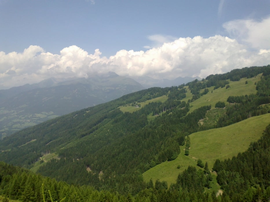
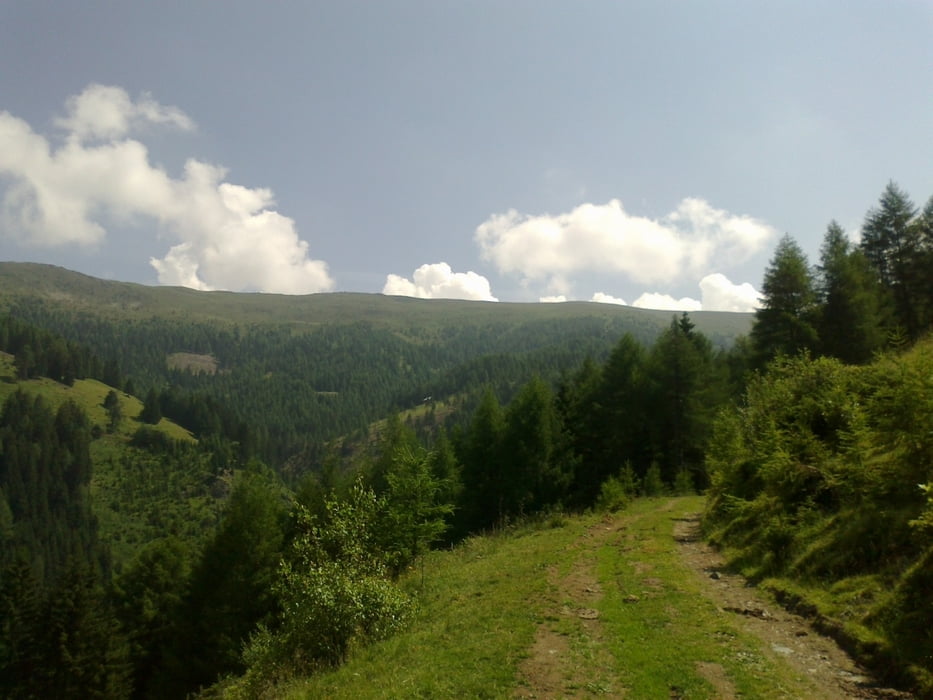
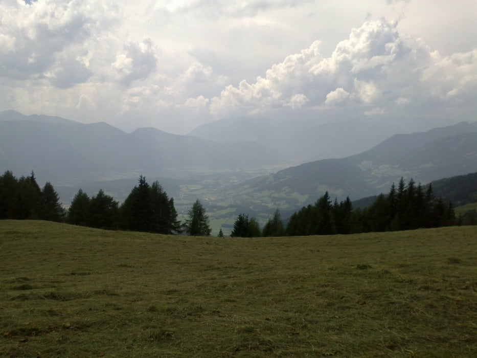
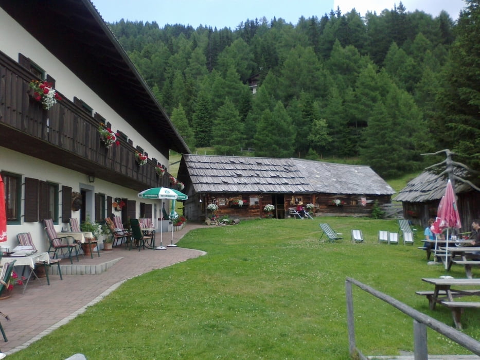
Spittal-bei Pichlhütte-Sommeregger Hütte-2 erfolglose Exkursionen Richtung Millstätter Hütte-zurück zur Sommeregger Hütte-Seeboden-Spittal


Tour gallery

Tour map and elevation profile

  • Open Street Map
  • Google
Minimum height 553 m Maximum height 1813 m Detailed view

More about the tour author

mitter
Member since 2008

Send private message

Comments

Spittal beim Spital

GPS tracks

Trackpoints
  • GPX / Garmin Map Source (gpx) download
  • TCX / Garmin Training Center® (tcx) download
  • CRS / Garmin Training Center® (crs) download
  • Google Earth (kml) download
  • G7ToWin (g7t) download
  • TTQV (trk) download
  • Overlay (ovl) download
  • Fugawi (txt) download
  • Kompass (DAV) Track (tk) download
  • Track data sheet (pdf) download
  • Original file of the author (gpx) download

More about the tour author

mitter
Member since 2008

Send private message
Share track
Add to my favorites
Remove from my favorites
Edit tags
My score
Rate
Track: Sommeregger Hütte 120705
Type: Mountain bike
Distance: 35,8 km
Evaluated on:
Duration:
Day(s)
Hour(s)
Minute(s)
Score: Landscape Fun factor Fitness Technique