


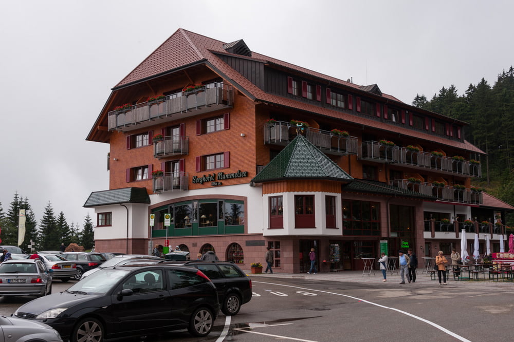
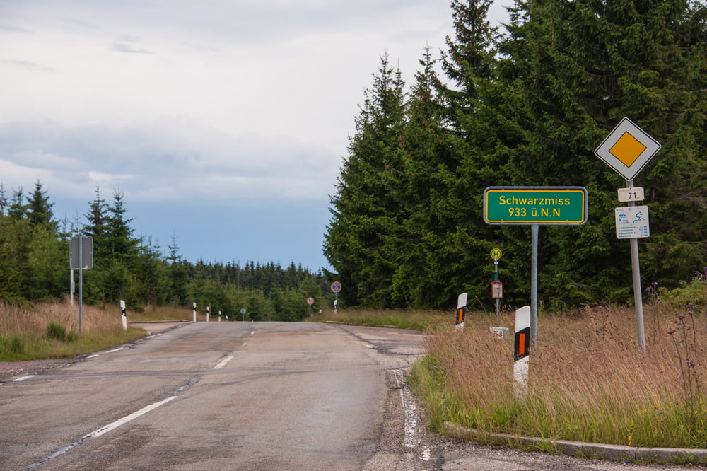
Startpunkt Sprollenhaus, zunächst das Enztal hinauf über Poppeltal. In Besenfeld steil hinab ins Murgtal. In Schönmünzach links nach Hinterlangenbach am Hotel Auerhahn vorbei hoch zum Seibelseckle. Weiter hoch zum Mummelsee ( höchster Punkt der Tour mit 1035m). B500 bis Hundseck. Über Hundsbach zurück ins Murgtal. In Forbach links zur Roten lache hoch. Runter nach Baden-Baden. Über Gasthaus Nachtigall und Schloß Ebersteinburg wieder runter ins Murgtal nach Gernsbach. Zum Abschluss geht es den Kaltenbronn hoch. Wer sich keine Körner aufgehoben hat wird leiden! 730Hm am Stück. Am Schwarzenmiss ist es geschafft - von hier nur noch bergab zurück zum Ausgangspunkt in Sprollenhaus.
Tour gallery
Tour map and elevation profile
Minimum height 184 m
Maximum height 1025 m
More about the tour author

|
tims10 |
Comments

Sprollenhaus liegt zwischen Wildbad und Enzklösterle im Enztal.
GPS tracks
Trackpoints-
GPX / Garmin Map Source (gpx) download
-
TCX / Garmin Training Center® (tcx) download
-
CRS / Garmin Training Center® (crs) download
-
Google Earth (kml) download
-
G7ToWin (g7t) download
-
TTQV (trk) download
-
Overlay (ovl) download
-
Fugawi (txt) download
-
Kompass (DAV) Track (tk) download
-
Track data sheet (pdf) download
-
Original file of the author (gpx) download
More about the tour author
|
|
tims10 |
Add to my favorites
Remove from my favorites
Edit tags
Open track
My score
Rate