
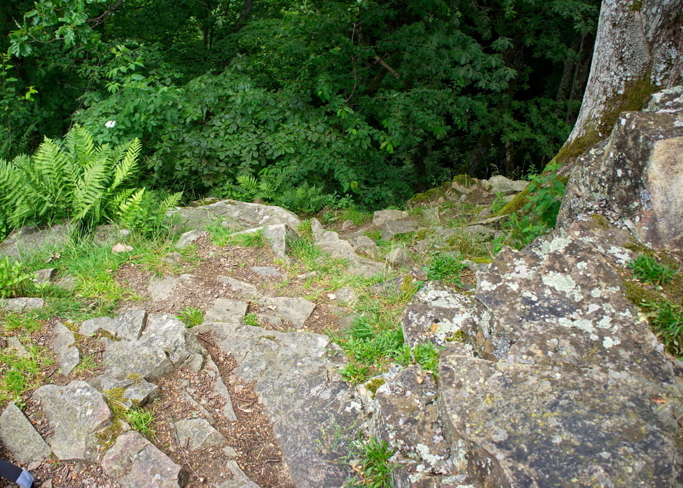
 sehr felsig.")

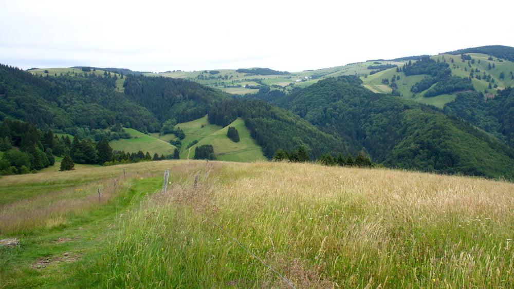
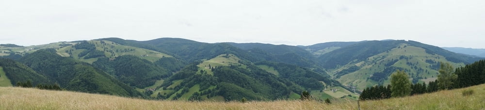
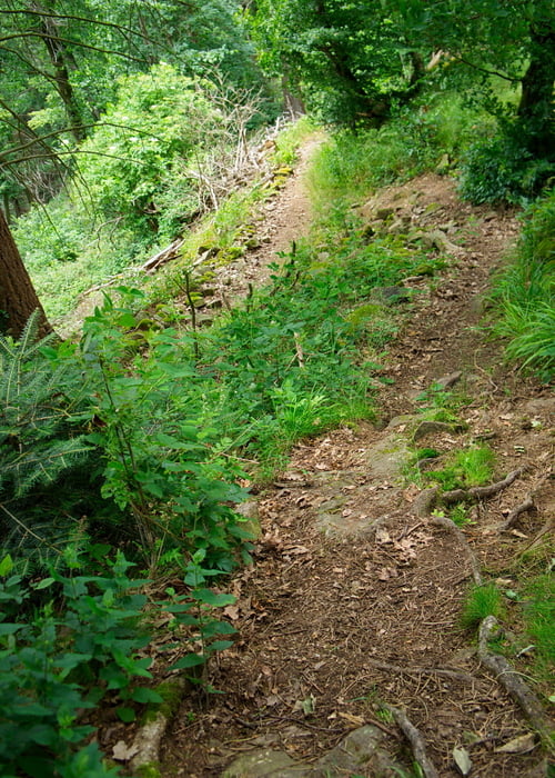
Start in Kirchzarten (10.15 Uhr) über den Schauinsland (12 Uhr). Anschließend gings es über den Gießhübel in den Etzenbacher Höhenweg. Ab hier wird es technisch anspruchsvoller. Steile Abfahrten mit Wurzeln und Steine/Felsen. Wir kehrten auf dem Kohlerhof ein (ca. 12.45), hier kann man sehr gut rasten (1 h Rast eingelegt). Dadurch fehlte uns ein kleines Stück vom Etzenbacher-Höhenweg. Der Singel-Trail verläuft anshließend hoch und runter, es muss auch mal geschoben werden.
Über Bollschweil, Sölden und Merzhausen bin ich wieder nach Kirchzarten zurück. Eigentlich wollten wir noch den Bettlerpfad aber da wir den Verlauf/Beschaffenheit nicht kannten ließen wir es bleiben.
Ich somit um 17 Uhr wieder auf meiner Terasse. :-)
Tour gallery
Tour map and elevation profile
Minimum height 241 m
Maximum height 1246 m
More about the tour author
|
|
bubu1811 |
Comments

GPS tracks
Trackpoints-
GPX / Garmin Map Source (gpx) download
-
TCX / Garmin Training Center® (tcx) download
-
CRS / Garmin Training Center® (crs) download
-
Google Earth (kml) download
-
G7ToWin (g7t) download
-
TTQV (trk) download
-
Overlay (ovl) download
-
Fugawi (txt) download
-
Kompass (DAV) Track (tk) download
-
Track data sheet (pdf) download
-
Original file of the author (gpx) download
More about the tour author
|
|
bubu1811 |
Add to my favorites
Remove from my favorites
Edit tags
Open track
My score
Rate