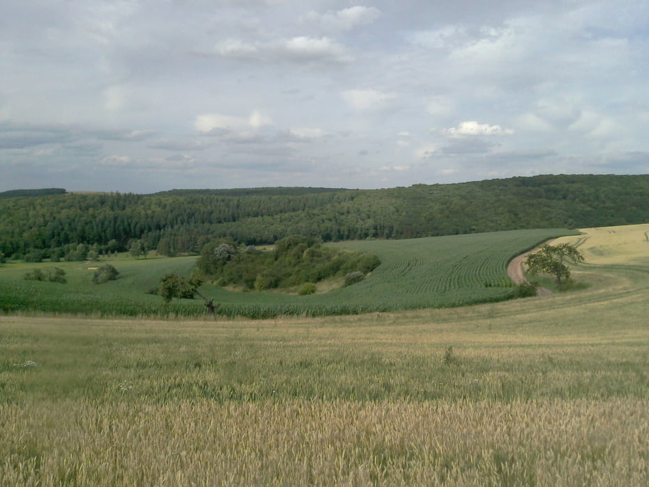
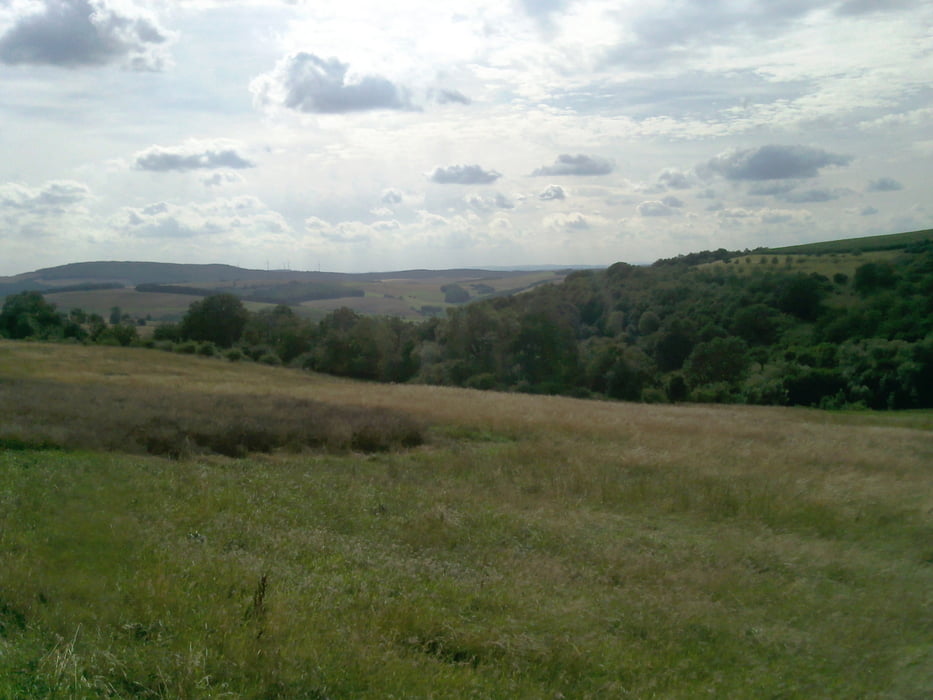
Ich bin hier überwiegend auf wenig befahrenen Landstrassen gefahren. Die kurzen Wegabschnitte abseits den Strassen waren zum Teil asphaltiert, mit Splitt versehen oder einfache Waldwege. Der Aufstieg Richtung Kriegsfeld ist nicht ohne, zumal ich heute starken Gegenwind hatte aber der Rückenwind auf dem Heimweg hat mit entschädigt.
Tour gallery
Tour map and elevation profile
Minimum height 123 m
Maximum height 421 m
Comments

GPS tracks
Trackpoints-
GPX / Garmin Map Source (gpx) download
-
TCX / Garmin Training Center® (tcx) download
-
CRS / Garmin Training Center® (crs) download
-
Google Earth (kml) download
-
G7ToWin (g7t) download
-
TTQV (trk) download
-
Overlay (ovl) download
-
Fugawi (txt) download
-
Kompass (DAV) Track (tk) download
-
Track data sheet (pdf) download
-
Original file of the author (gpx) download
Add to my favorites
Remove from my favorites
Edit tags
Open track
My score
Rate


