


Kurze Feierabendrunde zur Stoißeralm mit Abfahrt über den Kammweg des Teisenberg
Startpunkt: Waldparkplatz Freidling nach der Autobahnunterführung bei Teisendorf
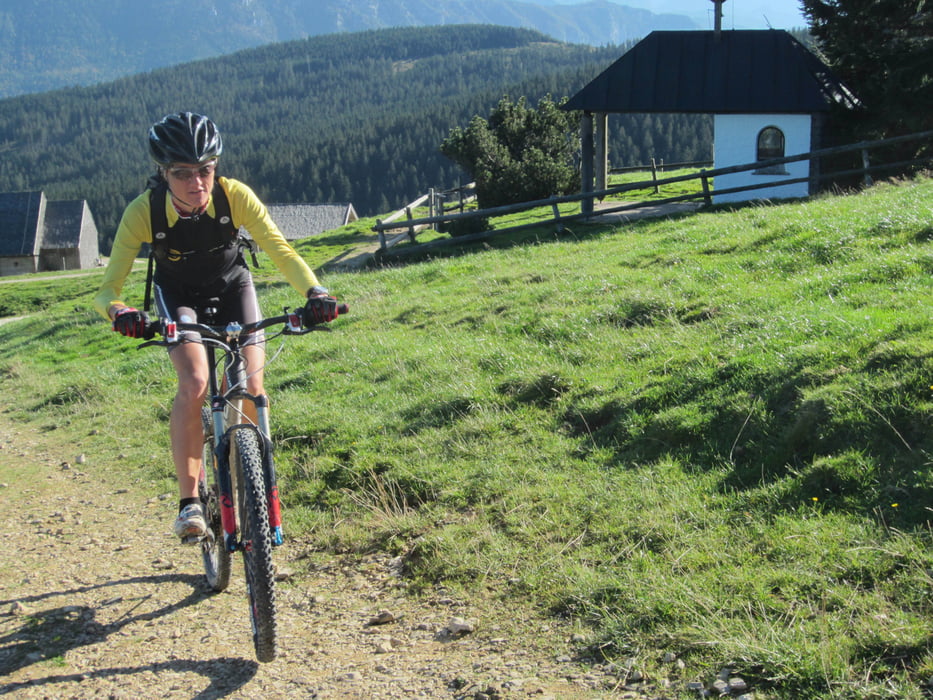
Die Tour führt über die obere Forststraße der markierten Teisenberg- Almrunde zur Stoißeralm. Von hier gehts auf dem Wanderweg II/III kurz aufwärts um bald darauf dem Kammweg I in nordöstlicher Richtung zu folgen (kurzes Schiebestück). Auf dem flowig zu fahrenden Wanderweg kreuzt man 2 Forststraßen, bis man auf die untere Forststraße der Teisenberg-Almrunde trifft und dieser nach links zum Ausgangspunkt der Tour folgt.
Tour gallery


Tour map and elevation profile
Minimum height 724 m
Maximum height 1301 m
More about the tour author
|
|
RudolfTill |
Comments

Von Teisendorf über Freidling nach Hub und unter der Autobahn durch bis zur Schranke der Forsstraße fahren. Hier ist ein kleiner Waldparkplatz.
GPS tracks
Trackpoints-
GPX / Garmin Map Source (gpx) download
-
TCX / Garmin Training Center® (tcx) download
-
CRS / Garmin Training Center® (crs) download
-
Google Earth (kml) download
-
G7ToWin (g7t) download
-
TTQV (trk) download
-
Overlay (ovl) download
-
Fugawi (txt) download
-
Kompass (DAV) Track (tk) download
-
Track data sheet (pdf) download
-
Original file of the author (gpx) download
More about the tour author
|
|
RudolfTill |
Add to my favorites
Remove from my favorites
Edit tags
Open track
My score
Rate