


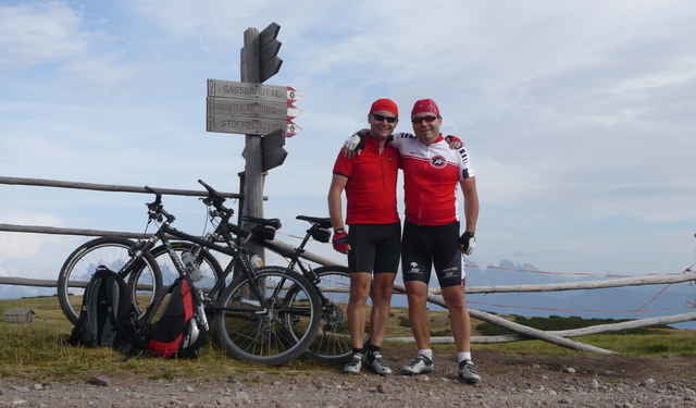
Die Tour startet in Bozen. Man fährt mit der Rittner Seilbahn bis auf Oberbozen und überwindet somit ca. 1000 Höhenmeter. Von Oberbozen führt die Tour zuerst über eine Strasse, dann über Waldwege hinauf aufs Rittner Unterhorn mit einer herrlichen Aussicht. Weiter Richtung Moar in Plun Alm und Stofflhütte, wo man auch gut was essen kann. Kurz danach erreichen wir den höchsten Punkt an der Gfohler Alm. Von hier geht es meist nur mehr abwärts. Vorsicht ist auf einem ca. 1km langem Weg, der talwärts führt geboten. Er ist teilweise recht steil und schwer fahrbar.
Tour gallery
Tour map and elevation profile
Minimum height 231 m
Maximum height 2156 m
More about the tour author

|
zipfelo |
Comments

Bozen Rittner Bahn Talstation nähe Hauptbahnhof
GPS tracks
Trackpoints-
GPX / Garmin Map Source (gpx) download
-
TCX / Garmin Training Center® (tcx) download
-
CRS / Garmin Training Center® (crs) download
-
Google Earth (kml) download
-
G7ToWin (g7t) download
-
TTQV (trk) download
-
Overlay (ovl) download
-
Fugawi (txt) download
-
Kompass (DAV) Track (tk) download
-
Track data sheet (pdf) download
-
Original file of the author (gpx) download
More about the tour author
|
|
zipfelo |
Add to my favorites
Remove from my favorites
Edit tags
Open track
My score
Rate