


Diese Tour war eigentlich eine Heimfahrt von einer Feier in Bonn und dauerte insgesamt fünf Tage.
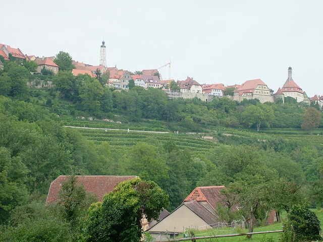
Zunächst geht es die Sieg hoch, im Rothaargebirge vorbei an den Quellen von Eder, Sieg und Lahn. Die Lahn hinab bis nach Gießen, von dort nach Süden zum Maintal. Weiter den Main aufwärts bis zur Mündung der Tauber in Wertheim. Durchs "Liebliche Taubertal" via Rothenburg auf die Hohenlohsche Ebene. Entlang des Radweges Hochenlohe-Ostalb über Aalen und Schwäbisch Gemünd nach Esslingen.
Übernachtungsmöglichkeiten entlang der Strecke ausreichend vorhanden. Eine wunderbare, innerhalb von fünf Tagen jedoch auch körperlich sehr anstrengende Tour durch sehr abwechsungsreiche Landschaften unserer Mittelgebirge (ca. 700km, ca. 5300Hm). Selbstverständlich sind auch Teilstrecken möglich.
Tour gallery
Tour map and elevation profile
Minimum height
Maximum height
More about the tour author
|
|
hoppulle |
Comments

GPS tracks
Trackpoints-
GPX / Garmin Map Source (gpx) download
-
TCX / Garmin Training Center® (tcx) download
-
CRS / Garmin Training Center® (crs) download
-
Google Earth (kml) download
-
G7ToWin (g7t) download
-
TTQV (trk) download
-
Overlay (ovl) download
-
Fugawi (txt) download
-
Kompass (DAV) Track (tk) download
-
Track data sheet (pdf) download
-
Original file of the author (gpx) download
More about the tour author
|
|
hoppulle |
Add to my favorites
Remove from my favorites
Edit tags
Open track
My score
Rate