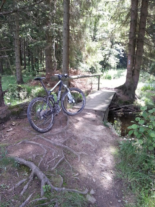
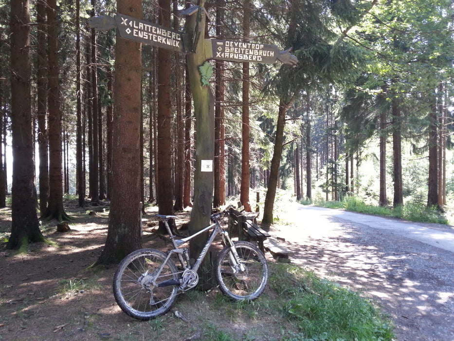
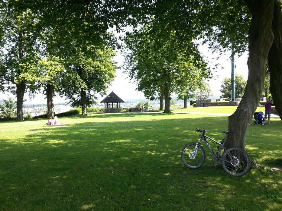
Der Strat befindet sich am Arnsberger Neumarkt.
Die Tour wird im Uhrzeigersinn gefahren.
Ich kannte das gesamte Gebiet vorher nicht. Aber nichts desto trotz recht interessant.
Da ich mich öfters orientieren musste kann ich keine genaue Zeitangabe für die Tour machen.
Ich denke aber das Sie in ca. 3:50 h zu bewältigen ist!
Solltet ihr die Tour fahren wünsche ich euch viel Spaß dabei ;-)
Tour gallery
Tour map and elevation profile
Minimum height 265 m
Maximum height 480 m
Comments

GPS tracks
Trackpoints-
GPX / Garmin Map Source (gpx) download
-
TCX / Garmin Training Center® (tcx) download
-
CRS / Garmin Training Center® (crs) download
-
Google Earth (kml) download
-
G7ToWin (g7t) download
-
TTQV (trk) download
-
Overlay (ovl) download
-
Fugawi (txt) download
-
Kompass (DAV) Track (tk) download
-
Track data sheet (pdf) download
-
Original file of the author (gpx) download
Add to my favorites
Remove from my favorites
Edit tags
Open track
My score
Rate

