


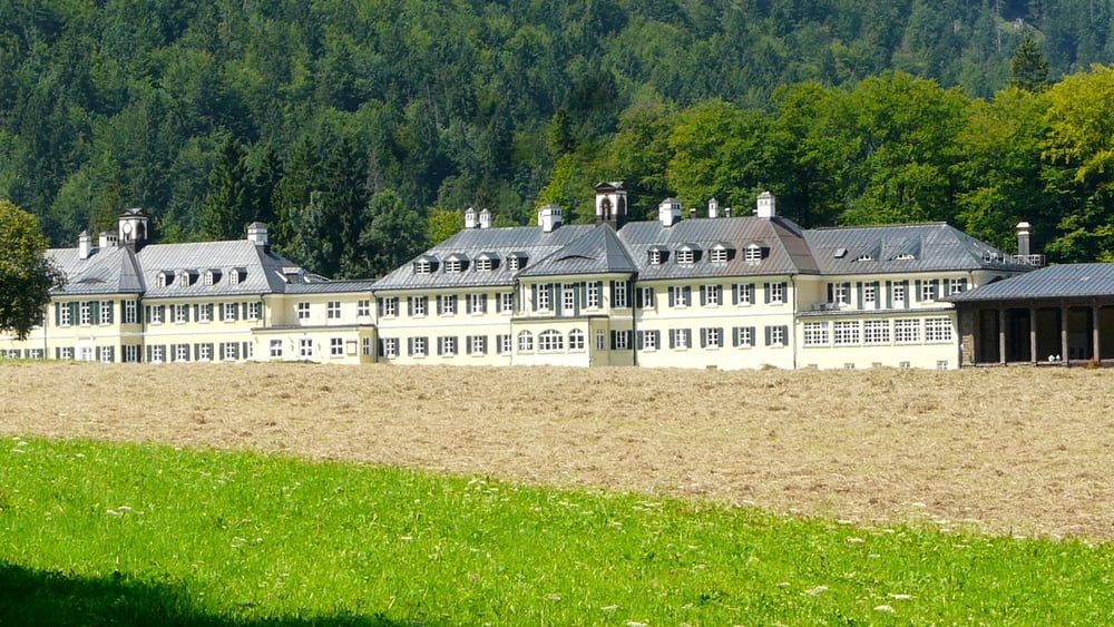
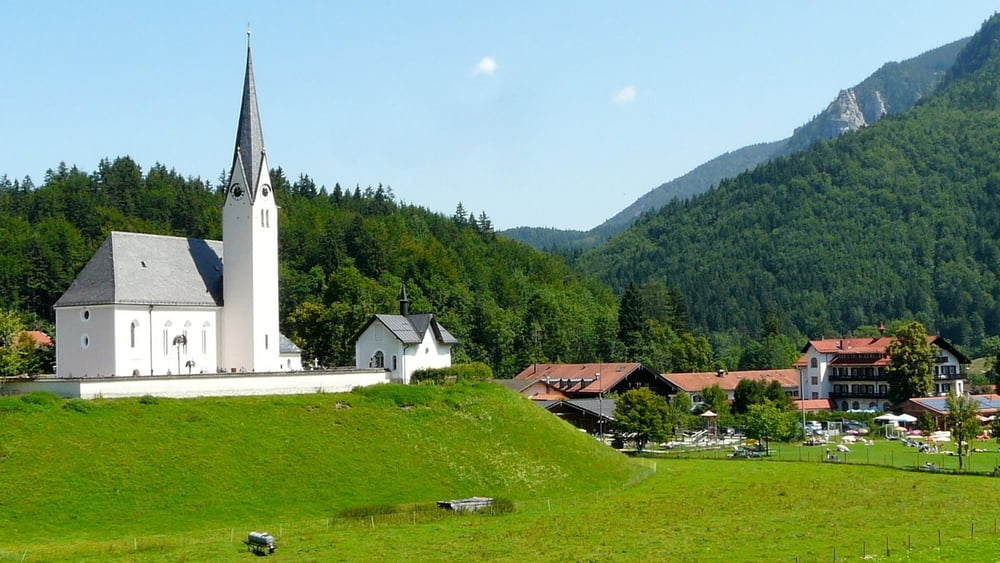
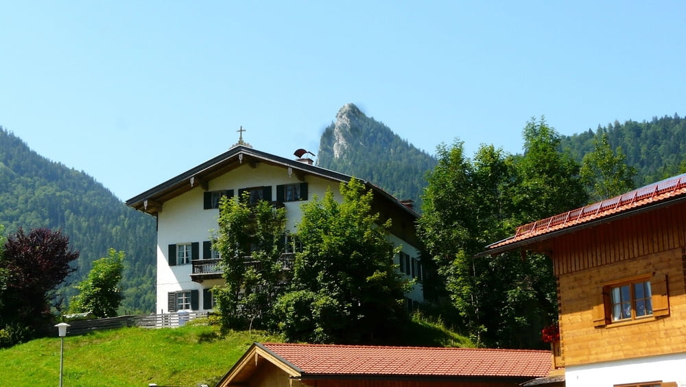
Eine weitere schöne Trekking-Tour zu einer sehr schön gelegenen und vielbesuchten Almhütte ist die Schwarzentennalm südlich des Hirschberges ca. 2,5 km von Bad Wiessee entfernt. Sie ist leicht mit dem Trekkingbike zu erreichen und ist wie die meisten Almhütten bewirtschaftet. Ein sehr schöner Tipp einer Einheimischen! Die Weiterfahrt nach Wildbad Kreuth gestaltete sich wegen der etwas steilen Abfahrt auf Schotterwegen etwas schwieriger - ist aber ohne abzusteigen zu bewerkstelligen - man darf nur keine Angst haben und muss langsam bergab fahren. Auf der Rückfahrt nach Bad Wiessee fährt man auf dem Fahrradweg auch an Kreuth vorbei - unbedingt sehenswert (siehe Bilder).
Further information at
http://de.wikipedia.org/wiki/Wildbad_KreuthTour gallery

Tour map and elevation profile
Minimum height 731 m
Maximum height 1043 m
More about the tour author

|
wosob |
Comments

Anfahrt über die A8 Richtung München-Salzburg Ausfahrt 97 - Tegernsee/Bad Wiessee/Bad Tölz - danach einen Parkplatz bei Bad Wiessee ansteuern und die Tour beginnen.
GPS tracks
Trackpoints-
GPX / Garmin Map Source (gpx) download
-
TCX / Garmin Training Center® (tcx) download
-
CRS / Garmin Training Center® (crs) download
-
Google Earth (kml) download
-
G7ToWin (g7t) download
-
TTQV (trk) download
-
Overlay (ovl) download
-
Fugawi (txt) download
-
Kompass (DAV) Track (tk) download
-
Track data sheet (pdf) download
-
Original file of the author (gpx) download
More about the tour author
|
|
wosob |
Add to my favorites
Remove from my favorites
Edit tags
Open track
My score
Rate