
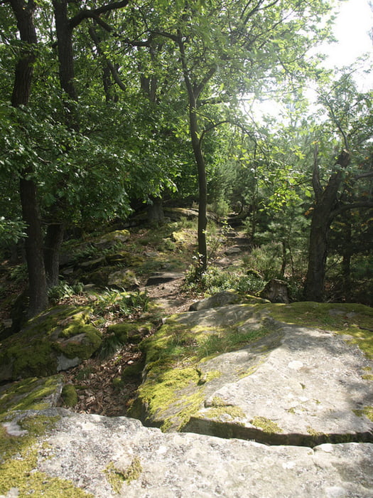

Es handelt sich um die Rundwanderung 52 des "Wanderportal Pfalz", eine schöne, aber anstrengende Runde, die dafür gleich mit 5 schönen Pfälzerwald-Hütten ausgestattet ist. Der Hauptsteigungsanteil kommt auf dem ersten Wegdrittel - hoch zur Hohen-Loog und dem Kalmitgipfel. Am Ende geht es aber nochmals kurz aber knackig hinauf zum Zigeunerfelsen. Also bitte ein paar Reserven noch für den Schluss aufbewahren ;-)
Further information at
http://www.wanderportal-pfalz.de/Tour map and elevation profile
Minimum height 220 m
Maximum height 666 m
More about the tour author
|
|
Camouflage |
Comments

Start ist der Parkplatz am Herz-Jesu Kloster in Neustadt am Ende der Waldstraße.
GPS tracks
Trackpoints-
GPX / Garmin Map Source (gpx) download
-
TCX / Garmin Training Center® (tcx) download
-
CRS / Garmin Training Center® (crs) download
-
Google Earth (kml) download
-
G7ToWin (g7t) download
-
TTQV (trk) download
-
Overlay (ovl) download
-
Fugawi (txt) download
-
Kompass (DAV) Track (tk) download
-
Track data sheet (pdf) download
-
Original file of the author (gpx) download
More about the tour author
|
|
Camouflage |
Add to my favorites
Remove from my favorites
Edit tags
Open track
My score
Rate