Utrecht - Amsterdam
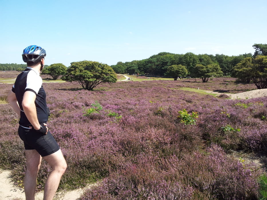
This 60km ride starts at Utrecht Centraal. We leave town towards Hilversum where we pass through the "Heide", a quite untypical area for the Netherlands. After 45 km we arrive in Muiden, at the Ijselmeer, where we turn west for the last 16 kilometers of the track with destination Amsterdam.
Tour gallery
Tour map and elevation profile
Minimum height -6 m
Maximum height 29 m
Comments

GPS tracks
Trackpoints-
GPX / Garmin Map Source (gpx) download
-
TCX / Garmin Training Center® (tcx) download
-
CRS / Garmin Training Center® (crs) download
-
Google Earth (kml) download
-
G7ToWin (g7t) download
-
TTQV (trk) download
-
Overlay (ovl) download
-
Fugawi (txt) download
-
Kompass (DAV) Track (tk) download
-
Track data sheet (pdf) download
-
Original file of the author (gpx) download
Add to my favorites
Remove from my favorites
Edit tags
Open track
My score
Rate


