Login

Forgotten password?

Cookies have to be accepted!
Your browser's cookie functionality is disabled. Please enable this functionality.

Not a member yet?

Register now
Login

Available for registred users only

Log in to use this feature.

Forgotten password?

Cookies have to be accepted!
Your browser's cookie functionality is disabled. Please enable this functionality.

Not a member yet?

Register now
Filter
Categories
Advanced filters
  • Distance (km)
  • Height
Save filters Reset filter

TrackRank

QRCode

Technical data

Distance12,9 km Height318 m Way down486 m Duration03:16 h:m Date13.08.2012
Scores Author User Landscape Fun factor Fitness Technique

Statistics

2173 Views 1 Score 70 Downloads 4.00 Average
Rate
  • Track data sheet
  • Directions
  • Downloads
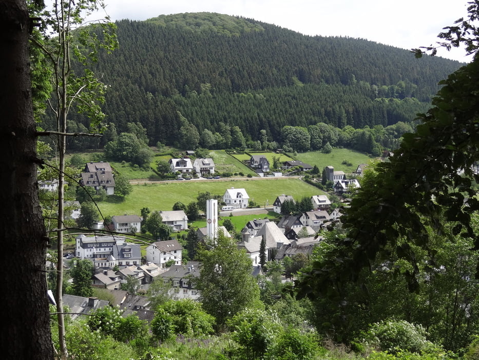
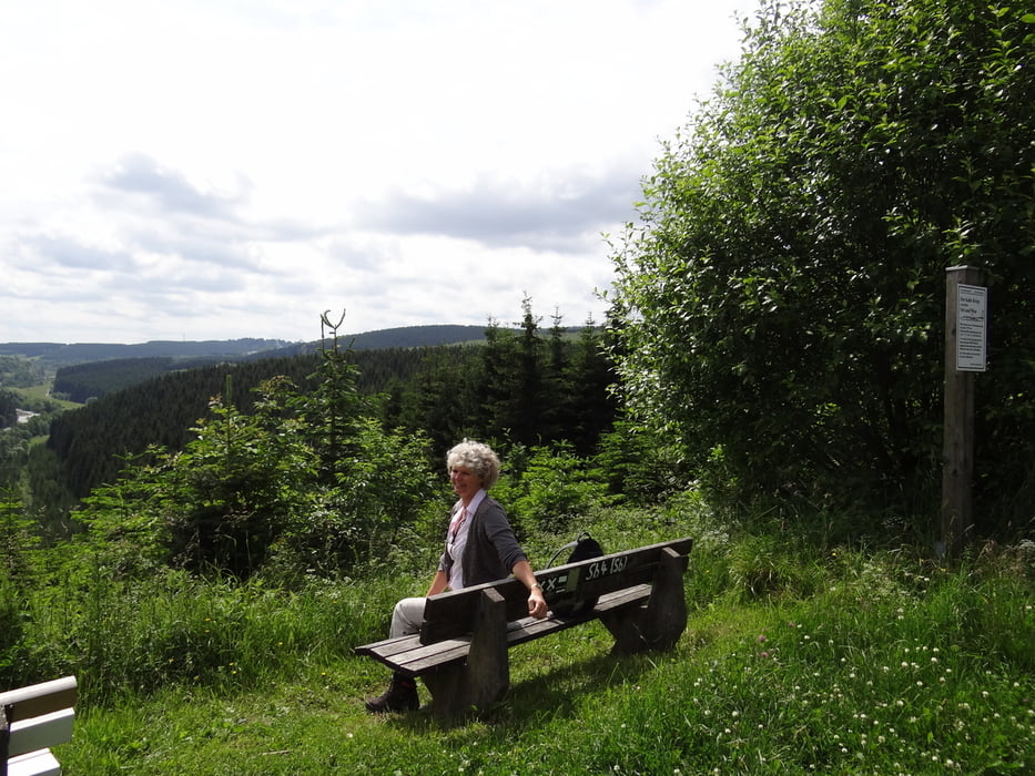
Prachtige route door een mooi stukje Sauerland, weg van de bekende wandelroutes. We zijn vanwege slecht weer gestopt in Siedlinghausen van waar met de trein terug naar Winterberg.

Tour gallery

Tour map and elevation profile

  • Open Street Map
  • Google
Minimum height 445 m Maximum height 754 m Detailed view

More about the tour author

eddavids
Member since 2012

Send private message

Comments

GPS tracks

Trackpoints
  • GPX / Garmin Map Source (gpx) download
  • TCX / Garmin Training Center® (tcx) download
  • CRS / Garmin Training Center® (crs) download
  • Google Earth (kml) download
  • G7ToWin (g7t) download
  • TTQV (trk) download
  • Overlay (ovl) download
  • Fugawi (txt) download
  • Kompass (DAV) Track (tk) download
  • Track data sheet (pdf) download
  • Original file of the author (gpx) download

More about the tour author

eddavids
Member since 2012

Send private message
Share track
Add to my favorites
Remove from my favorites
Edit tags
My score
Rate
Track: Winterberg - Siedlinghausen
Type: Hiking
Distance: 12,9 km
Evaluated on:
Duration:
Day(s)
Hour(s)
Minute(s)
Score: Landscape Fun factor Fitness Technique