Login

Forgotten password?

Cookies have to be accepted!
Your browser's cookie functionality is disabled. Please enable this functionality.

Not a member yet?

Register now
Login

Available for registred users only

Log in to use this feature.

Forgotten password?

Cookies have to be accepted!
Your browser's cookie functionality is disabled. Please enable this functionality.

Not a member yet?

Register now
Filter
Categories
Advanced filters
  • Distance (km)
  • Height
Save filters Reset filter

TrackRank

QRCode

Technical data

Distance51,2 km Height1009 m Way down1013 m Duration04:00 h:m Date13.08.2012
Scores Author Landscape Fun factor Fitness Technique

Statistics

370 Views Scores 31 Downloads Average
Rate
  • Track data sheet
  • Directions
  • Downloads

Sehr schöne 1/2 Tages Tour.

Vor Riemke ist der X 18 nicht gut ausgeschildert (Foto 1).

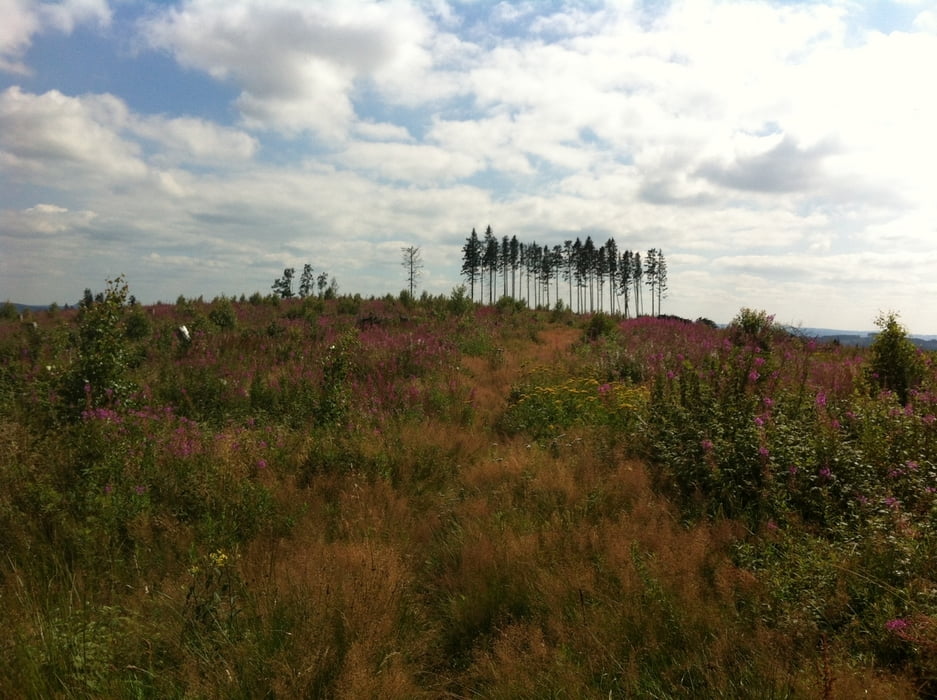
Ebenfalls nicht optimal ausgeschildert ist der X1 nachdem ihr die höchste Stelle im Balver Wald (517m) erreicht habt.

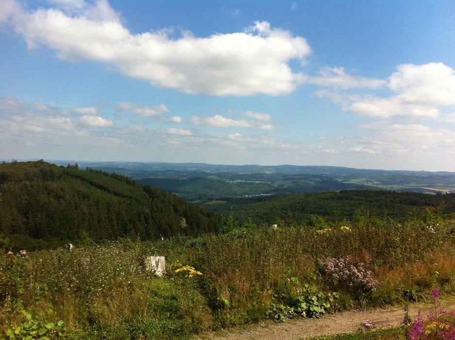
Landschaftlich sehr schön mit Blick auf das Sauerland.

Als Abschluss gibt es einen netten Single Trail nach der Küche, wenn ihr den X4 in Richtung Wermingsen verlaßt.


Tour gallery

Tour map and elevation profile

  • Open Street Map
  • Google
Minimum height 160 m Maximum height 546 m Detailed view

More about the tour author

MHohmann
Member since 2010

Send private message

Comments

GPS tracks

Trackpoints
  • GPX / Garmin Map Source (gpx) download
  • TCX / Garmin Training Center® (tcx) download
  • CRS / Garmin Training Center® (crs) download
  • Google Earth (kml) download
  • G7ToWin (g7t) download
  • TTQV (trk) download
  • Overlay (ovl) download
  • Fugawi (txt) download
  • Kompass (DAV) Track (tk) download
  • Track data sheet (pdf) download
  • Original file of the author (gpx) download

More about the tour author

MHohmann
Member since 2010

Send private message
Share track
Add to my favorites
Remove from my favorites
Edit tags
My score
Rate
Track: MH 5 Riemke-Brockhausen-Sanssouci-Leveringhausen-Ihmert
Type: Mountain bike
Distance: 51,2 km
Evaluated on:
Duration:
Day(s)
Hour(s)
Minute(s)
Score: Landscape Fun factor Fitness Technique