Login

Forgotten password?

Cookies have to be accepted!
Your browser's cookie functionality is disabled. Please enable this functionality.

Not a member yet?

Register now
Login

Available for registred users only

Log in to use this feature.

Forgotten password?

Cookies have to be accepted!
Your browser's cookie functionality is disabled. Please enable this functionality.

Not a member yet?

Register now
Filter
Categories
Advanced filters
  • Distance (km)
  • Height
Save filters Reset filter

TrackRank

QRCode

Technical data

Distance42,9 km Height541 m Way down523 m Duration02:30 h:m Date13.08.2012
Scores Author Landscape Fun factor Fitness Technique

Statistics

524 Views Scores 32 Downloads Average
Rate
  • Track data sheet
  • Directions
  • Downloads

die Tour führt raus aus Erfurt immer bergauf.

Von der Suhler Queller ein heftiger Anstieg auf guten Waldweg.

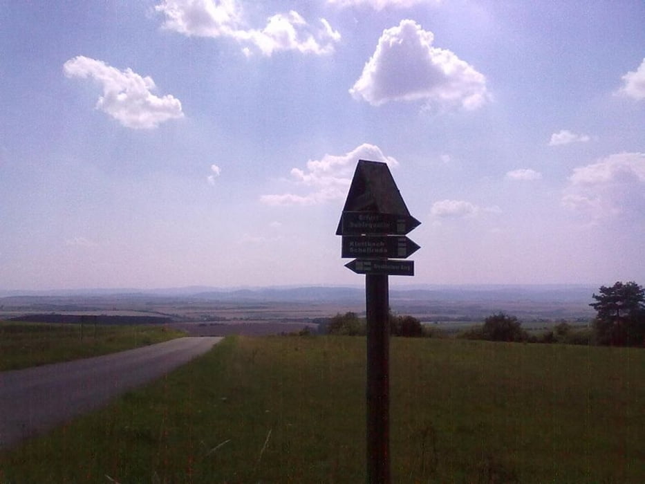
Zwischen Autobahn und Riechheimer Berg noch einmal ca. 200 m ausgewaschner steiler Anstieg mit losen Untergrund.

Tour gallery

Tour map and elevation profile

  • Open Street Map
  • Google
Minimum height 197 m Maximum height 509 m Detailed view

More about the tour author

drzahnweh
Member since 2011

Send private message

Comments

Startpunkt ist die Tiroler Siedlung.

GPS tracks

Trackpoints
  • GPX / Garmin Map Source (gpx) download
  • TCX / Garmin Training Center® (tcx) download
  • CRS / Garmin Training Center® (crs) download
  • Google Earth (kml) download
  • G7ToWin (g7t) download
  • TTQV (trk) download
  • Overlay (ovl) download
  • Fugawi (txt) download
  • Kompass (DAV) Track (tk) download
  • Track data sheet (pdf) download
  • Original file of the author (gpx) download

More about the tour author

drzahnweh
Member since 2011

Send private message
Share track
Add to my favorites
Remove from my favorites
Edit tags
My score
Rate
Track: Riechheimer Berg
Type: Mountain bike
Distance: 42,9 km
Evaluated on:
Duration:
Day(s)
Hour(s)
Minute(s)
Score: Landscape Fun factor Fitness Technique