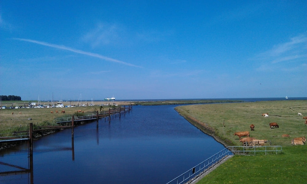
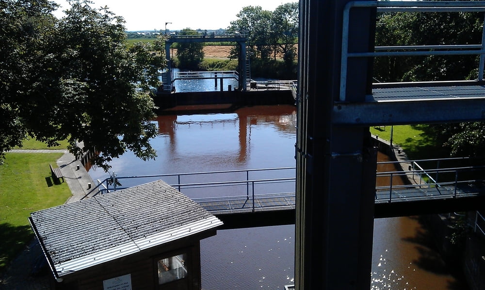
Von Cuxhafen bis hinter Otterndorf
Diese Runde beginnt in Cuxhafen - Döse und führt über gut ausgebaute Straßen, Wirtschaftswege und Radwege bis Belum. Der Weg bis Belum war die ganze Zeit mit Gegenwind zufahren, auf dem Rückweg gab es dafür Rückenwind zu erholung. Die Strecke führt zum Teil über den Elbe - Radweg, eine sehr schöne Strecke.
Tour gallery
Tour map and elevation profile
Minimum height -17 m
Maximum height 14 m
Comments

GPS tracks
Trackpoints-
GPX / Garmin Map Source (gpx) download
-
TCX / Garmin Training Center® (tcx) download
-
CRS / Garmin Training Center® (crs) download
-
Google Earth (kml) download
-
G7ToWin (g7t) download
-
TTQV (trk) download
-
Overlay (ovl) download
-
Fugawi (txt) download
-
Kompass (DAV) Track (tk) download
-
Track data sheet (pdf) download
-
Original file of the author (gpx) download
Add to my favorites
Remove from my favorites
Edit tags
Open track
My score
Rate


